Brand: Garmin
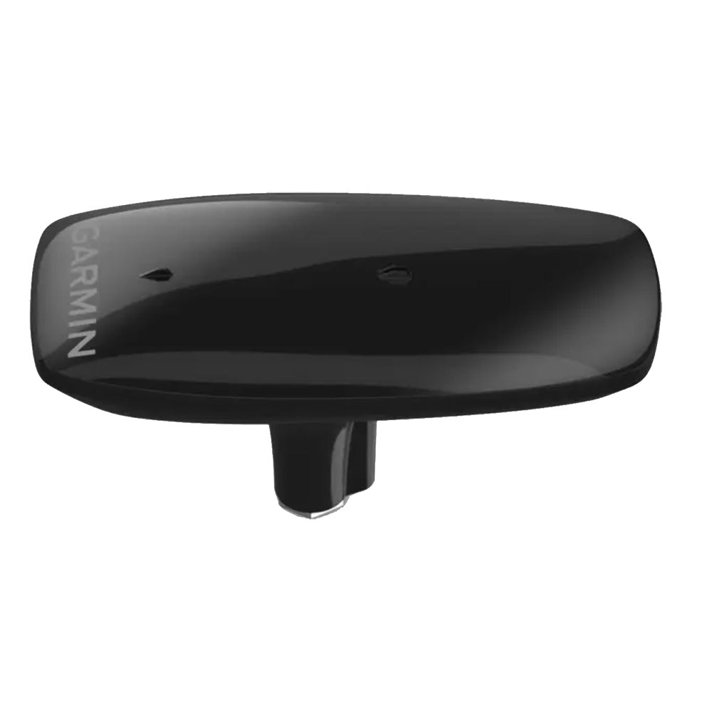
Garmin MSC 10 Marine Satellite Compass, Black
Garmin MSC 10 Marine Satellite Compass, Black
Sold out
The Garmin MSC 10 is a GPS-based marine satellite compass designed to provide reliable heading, pitch, roll, and heave information for your vessel. Utilizing multi-band GNSS (L1 and L5) and multi-constellation support, this device delivers precise positioning and is unaffected by magnetic interference. Its integrated Attitude Heading Reference System (AHRS) ensures accurate data at all speeds, even in rough seas, making it an ideal primary heading sensor for autopilots and other onboard systems.
Key Features:
- Heading accuracy within 2 degrees using satellite signals.
- 10 Hz position update rate for detailed tracking.
- NMEA 2000 network compatibility for easy integration with Garmin chartplotters.
- Seamless transition to integrated magnetometer-based heading if satellite signal is lost.
- Compact design with included pole mount and hardware for simple installation.
In the Box:
- MSC 10 Marine Satellite Compass (010-02407-10)
- Pole mount
- Mounting hardware
- 6-meter NMEA 2000 backbone/drop cable
- NMEA 2000 T-connector
- Documentation
Product facts
- CT SKU
- CT-117944
- UPC / GTIN
- 753759331221
- Package weight
- 5.1 lb
Shipping & returns
Shipping & returns
Shipping methods, delivery estimates, and final costs appear at checkout before payment. Some bulky, supplier-shipped, or special-handling items may ship separately. See Shipping & Returns for return windows and eligibility.
Fit & compatibility
Fit & compatibility
Review the product title, description, images, dimensions, part numbers, and manufacturer details before purchase. For fit-sensitive items, confirm compatibility with your boat, RV, trailer, vehicle, or equipment.
Need help choosing?
Need help choosing?
Send us the product link or SKU, plus details about your boat, RV, trailer, vehicle, or project. We will help you narrow down the right option when product fit is not obvious.