Brand: Garmin
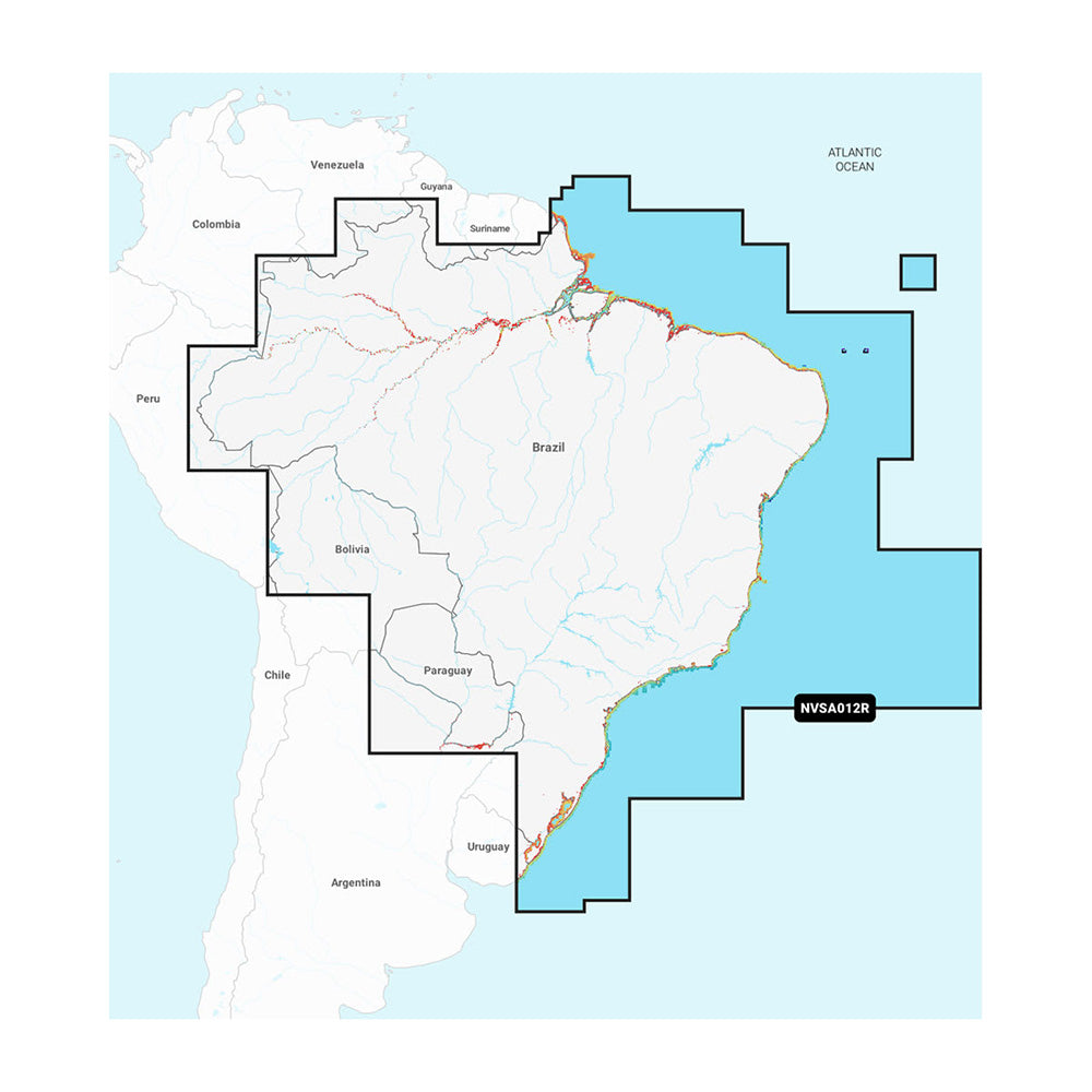
Garmin Navionics Vision+ NVSA012R Brazil Marine Chart
Garmin Navionics Vision+ NVSA012R Brazil Marine Chart
Sold out
The Garmin Navionics Vision+ NVSA012R is a comprehensive marine mapping solution for Garmin chartplotters, providing detailed coastal and inland coverage of Brazil, including the Amazon River from Benjamin Constant to the Atlantic Ocean. This all-in-one cartography card utilizes a familiar Navionics color palette to deliver high-resolution navigation data and enhanced fishing features.
- Format: microSD/SD card
- Includes a one-year subscription for daily chart updates via the ActiveCaptain app
- Auto Guidance+ technology for suggested dock-to-dock routing
- High-resolution depth range shading with up to 10 customizable target depths
- Detailed bottom structure views with up to 1 ft contours
- Shallow water shading for improved navigation safety
- Access to community-sourced POIs including marinas, hazards, and local recommendations
- Premium features: High-resolution relief shading, satellite imagery, aerial photography, 3D Fisheye and Marinereye views, and dynamic lake level adjustment
Note: Auto Guidance+ is intended for planning purposes only and does not replace safe navigation practices. A subscription is required for ongoing access to daily updates and premium content downloads after the included one-year term expires.
Product facts
- CT SKU
- CT-114545
- Model / MPN
- 010-C1453-00
- UPC / GTIN
- 753759320553
- Package dimensions
- 1" X 4" X 6"
- Package weight
- 0.17 lb
Shipping & returns
Shipping & returns
Shipping methods, delivery estimates, and final costs appear at checkout before payment. Some bulky, supplier-shipped, or special-handling items may ship separately. See Shipping & Returns for return windows and eligibility.
Fit & compatibility
Fit & compatibility
Review the product title, description, images, dimensions, part numbers, and manufacturer details before purchase. For fit-sensitive items, confirm compatibility with your boat, RV, trailer, vehicle, or equipment.
Need help choosing?
Need help choosing?
Send us the product link or SKU, plus details about your boat, RV, trailer, vehicle, or project. We will help you narrow down the right option when product fit is not obvious.