Brand: Humminbird
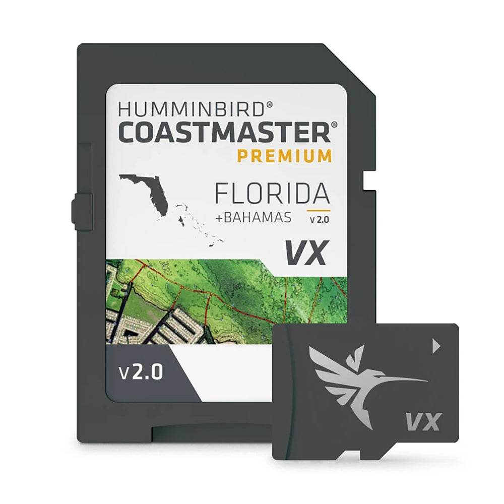
Humminbird CoastMaster Premium Edition Florida Version 2 Chart Card
Humminbird CoastMaster Premium Edition Florida Version 2 Chart Card
Sold out
The Humminbird CoastMaster Premium Edition Florida Version 2 provides detailed, accurate chart coverage for all Florida waters and the Bahamas. This mapping software is designed to assist anglers in navigating safely and identifying productive fishing locations through advanced visualization tools.
Key Features:
- Includes Florida boat lanes with depth-labeled tracks to help plan routes to fishing areas.
- Features a safety depth setting that highlights shallow areas in red based on your boat's draft.
- Provides exclusive shallow water contours and high-definition shaded relief for the Bahamas and the Florida Keys.
- Includes 2D Shaded Relief layer for better visualization of bottom detail and depth changes.
- Features enhanced aerial imagery for clear water visibility and bottom hardness layering to identify fish-holding terrain.
- Predictive software tools display tidal height and direction, as well as current speed and direction.
- Allows for depth contour and shoreline synchronization with actual water levels.
- Enables adjustable shallow water highlighting from zero to 30 feet.
- Compatible with Humminbird APEX, XPLORE, and SOLIX G3N series models.
Manufacturer Part Number: 602014-2. UPC: 082324057984.
Product facts
- CT SKU
- CT-119466
- UPC / GTIN
- 082324057984
- Package weight
- 0.15 lb
Shipping & returns
Shipping & returns
Shipping methods, delivery estimates, and final costs appear at checkout before payment. Some bulky, supplier-shipped, or special-handling items may ship separately. See Shipping & Returns for return windows and eligibility.
Fit & compatibility
Fit & compatibility
Review the product title, description, images, dimensions, part numbers, and manufacturer details before purchase. For fit-sensitive items, confirm compatibility with your boat, RV, trailer, vehicle, or equipment.
Need help choosing?
Need help choosing?
Send us the product link or SKU, plus details about your boat, RV, trailer, vehicle, or project. We will help you narrow down the right option when product fit is not obvious.