Brand: Garmin
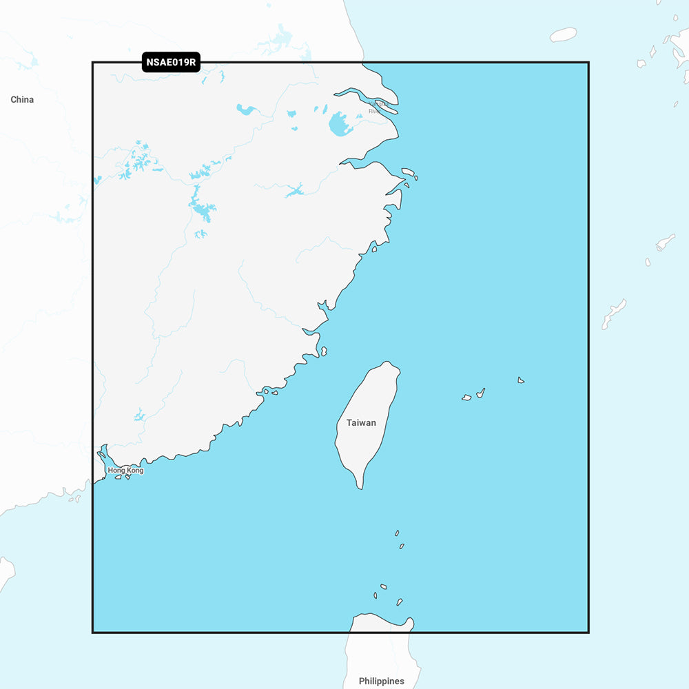
Garmin Navionics+ NSAE019R Taiwan Marine Chart
Garmin Navionics+ NSAE019R Taiwan Marine Chart
Sold out
The Garmin Navionics+ NSAE019R Taiwan marine chart provides comprehensive, up-to-date cartography for compatible chartplotters. This all-in-one mapping solution integrates coastal and inland content, featuring a user-friendly interface and detailed imagery for coastal areas including mainland China from Shanghai to Hong Kong, and Taiwan, including coverage for Macau, Keelong, Kaohsiung, Xiamen, Guangzhou, Taichung City, and Taipei.
Key Features:
- Includes a one-year subscription for daily chart updates via the ActiveCaptain app.
- Auto Guidance+ technology provides suggested dock-to-dock routing through channels and inlets.
- Detailed bathymetry with up to 1' contours for improved navigation and identification of bottom structures.
- High-resolution depth range shading with up to 10 customizable target depth ranges.
- Shallow water shading to assist in identifying and avoiding shallow areas at user-defined depths.
- Access to the ActiveCaptain community for local POIs, marina information, and navigation hazards.
Technical Specifications:
- Part Number: 010-C1217-20
- Format: MicroSD/SD Card
Note: Auto Guidance+ technology is intended for planning purposes only and does not replace safe navigation practices. Please verify compatibility with your specific GPS chartplotter before use.
Product facts
- CT SKU
- CT-111686
- Model / MPN
- 010-C1217-20
- Package dimensions
- 1" X 1" X 6"
- Package weight
- 0.1 lb
Shipping & returns
Shipping & returns
Shipping methods, delivery estimates, and final costs appear at checkout before payment. Some bulky, supplier-shipped, or special-handling items may ship separately. See Shipping & Returns for return windows and eligibility.
Fit & compatibility
Fit & compatibility
Review the product title, description, images, dimensions, part numbers, and manufacturer details before purchase. For fit-sensitive items, confirm compatibility with your boat, RV, trailer, vehicle, or equipment.
Need help choosing?
Need help choosing?
Send us the product link or SKU, plus details about your boat, RV, trailer, vehicle, or project. We will help you narrow down the right option when product fit is not obvious.