Brand: Garmin
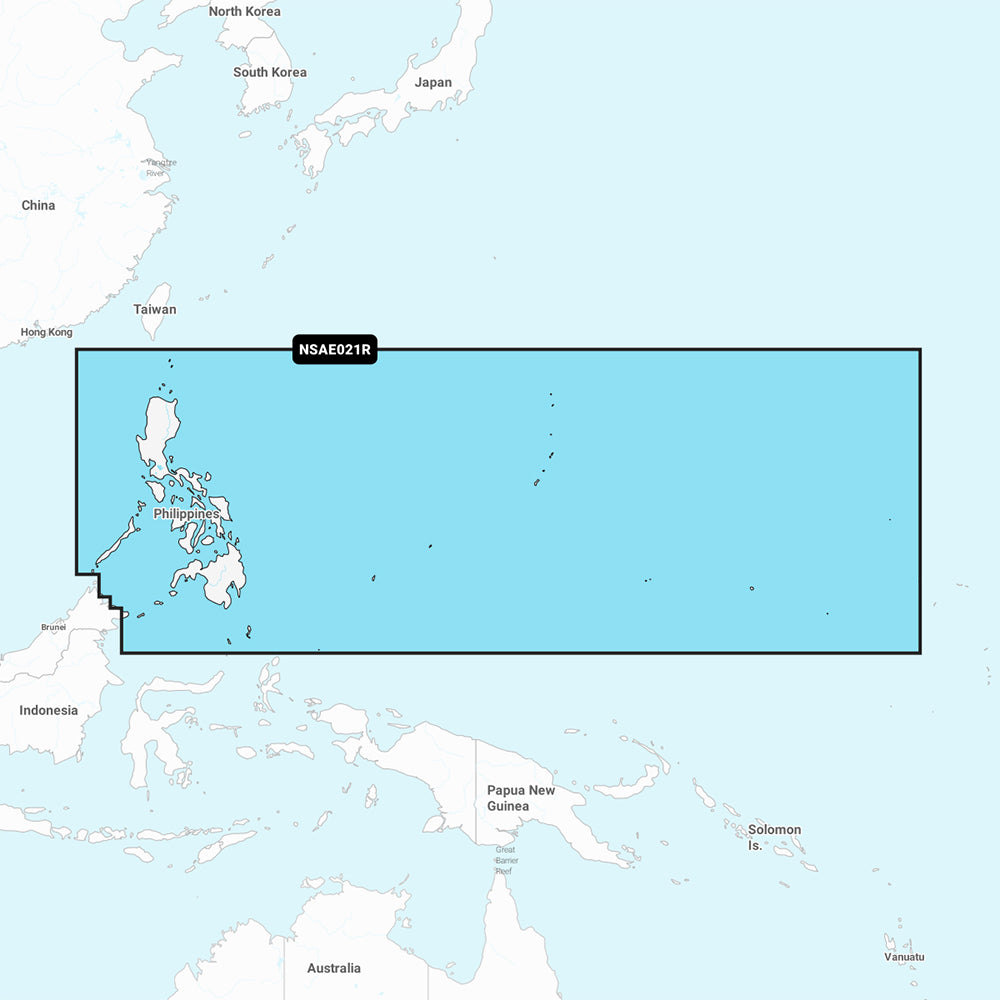
Garmin Navionics+ Marine Chart - Philippines (NSAE021R)
Garmin Navionics+ Marine Chart - Philippines (NSAE021R)
Sold out
The Garmin Navionics+ NSAE021R Marine Chart provides detailed cartography for the Philippines and the islands of Micronesia, including the Marianas, Palau, Guam, Saipan, and Wake Island. This all-in-one map solution features a streamlined interface and a familiar Navionics color palette, designed for use with compatible GPS chartplotters.
- Coverage: Coastal coverage of the Philippine Islands and Micronesia.
- Advanced Navigation: Includes Auto Guidance+ technology for suggested dock-to-dock routing.
- Enhanced Detail: Offers up to 1' contours for detailed bottom structure and high-resolution depth range shading with up to 10 customizable target depth ranges.
- Customization: Features shallow water shading and multiple chart layers for improved navigation.
- Subscription: Includes a one-year subscription for daily chart updates via the ActiveCaptain app.
- Community Content: Access to the ActiveCaptain community for user-sourced POIs and local recommendations.
- Format: Pre-programmed microSD/SD card.
Note: Auto Guidance+ is intended for planning purposes only and does not replace safe navigation practices. Please verify compatibility with your specific chartplotter model before use.
Product facts
- CT SKU
- CT-111688
- Model / MPN
- 010-C1219-20
- UPC / GTIN
- 753759289133
- Package dimensions
- 1" X 1" X 6"
- Package weight
- 0.2 lb
Shipping & returns
Shipping & returns
Shipping methods, delivery estimates, and final costs appear at checkout before payment. Some bulky, supplier-shipped, or special-handling items may ship separately. See Shipping & Returns for return windows and eligibility.
Fit & compatibility
Fit & compatibility
Review the product title, description, images, dimensions, part numbers, and manufacturer details before purchase. For fit-sensitive items, confirm compatibility with your boat, RV, trailer, vehicle, or equipment.
Need help choosing?
Need help choosing?
Send us the product link or SKU, plus details about your boat, RV, trailer, vehicle, or project. We will help you narrow down the right option when product fit is not obvious.