Brand: Garmin
Garmin Navionics+ NSAE025R Marine Chart - Papua New Guinea & Solomon Islands
Garmin Navionics+ NSAE025R Marine Chart - Papua New Guinea & Solomon Islands
Sold out
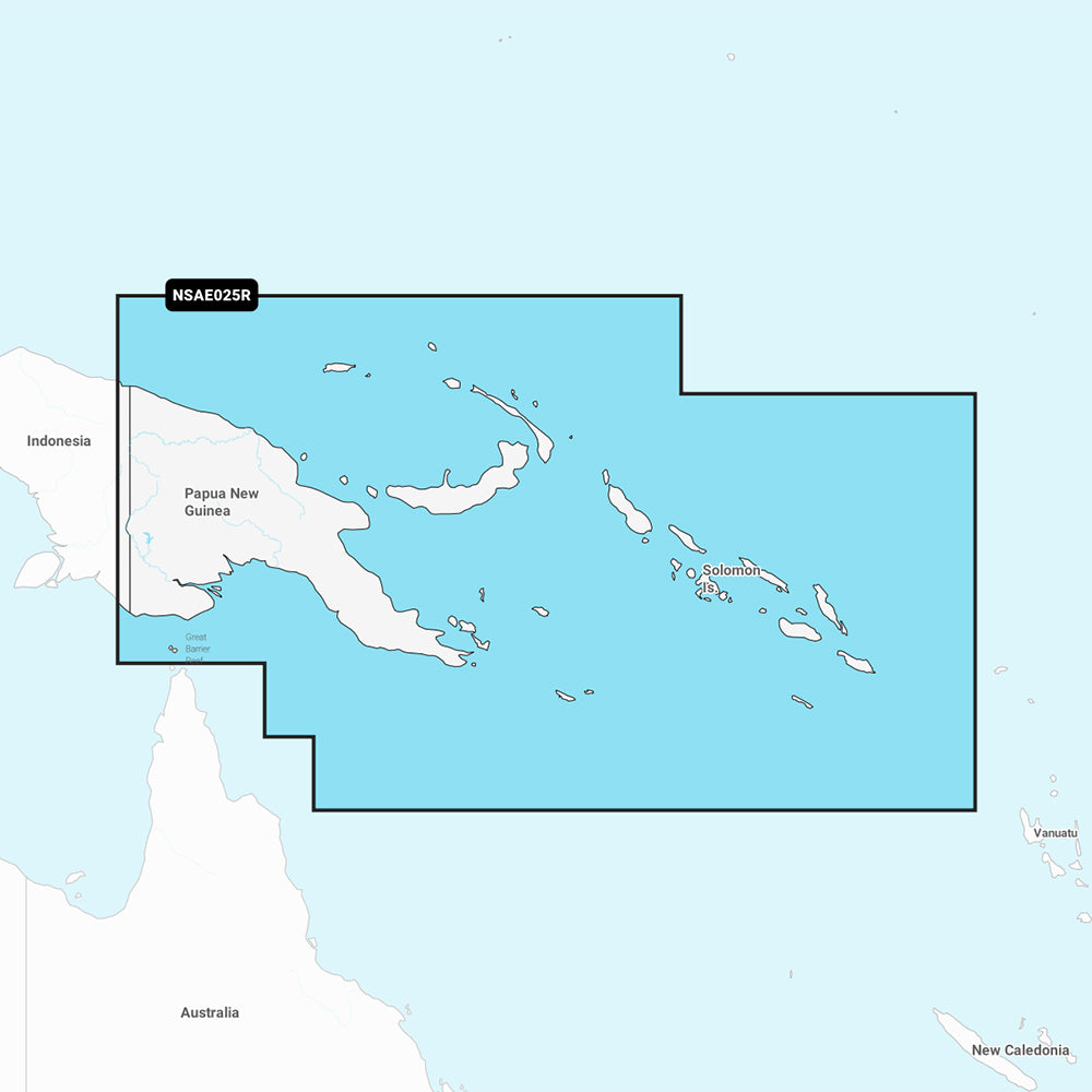
The Garmin Navionics+ NSAE025R marine chart provides comprehensive coastal mapping for Papua New Guinea and the Solomon Islands, including major ports such as Port Moresby, Lae, Rabaul, and Honiara. This all-in-one cartography solution features detailed coastal and inland data designed for compatible Garmin chartplotters.
- Chart Code: NSAE025R
- Format: MicroSD/SD card
- Auto Guidance+ Technology: Calculates suggested dock-to-dock routes through channels and marina entrances.
- Depth Features: Includes high-resolution 1' contours and customizable depth range shading with up to 10 target ranges.
- Shallow Water Shading: User-defined shading to help identify and avoid shallow water areas.
- Updates: Includes a one-year subscription for daily chart updates via the ActiveCaptain app.
- Community Content: Access to the ActiveCaptain community for local POIs, hazards, and boater recommendations.
Purchasing this product includes an SD/microSD card and a one-year subscription to daily updates. Please verify compatibility with your specific GPS chartplotter model before use. Auto Guidance+ is intended for planning purposes only and is not a substitute for safe navigation.
Product facts
- CT SKU
- CT-111691
- Model / MPN
- 010-C1223-20
- Package dimensions
- 1" X 1" X 6"
- Package weight
- 0.1 lb
Shipping & returns
Shipping & returns
Shipping methods, delivery estimates, and final costs appear at checkout before payment. Some bulky, supplier-shipped, or special-handling items may ship separately. See Shipping & Returns for return windows and eligibility.
Fit & compatibility
Fit & compatibility
Review the product title, description, images, dimensions, part numbers, and manufacturer details before purchase. For fit-sensitive items, confirm compatibility with your boat, RV, trailer, vehicle, or equipment.
Need help choosing?
Need help choosing?
Send us the product link or SKU, plus details about your boat, RV, trailer, vehicle, or project. We will help you narrow down the right option when product fit is not obvious.