Brand: Garmin
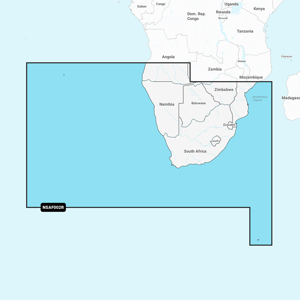
Garmin Navionics+ Marine Chart - South Africa (NSAF002R)
Garmin Navionics+ Marine Chart - South Africa (NSAF002R)
Sold out
The Garmin Navionics+ NSAF002R marine chart provides detailed coastal and inland mapping for southern Africa, spanning from Namibe, Angola to the Zambezi Delta in Mozambique. This all-in-one mapping solution offers comprehensive coverage of major South African ports, including Cape Town, Port Elizabeth, East London, and Durban, as well as Maputo, Mozambique and surrounding islands such as St. Helena and Tristan da Cunha.
Key Features:
- Daily Updates: Includes a one-year subscription for daily chart updates accessible via the ActiveCaptain app.
- Advanced Navigation: Integrated Auto Guidance+ technology provides suggested dock-to-dock routing through channels, inlets, and marinas.
- Enhanced Detail: Offers up to 1' contours for clear bottom structure mapping, ideal for navigation and fishing.
- Customization: Features user-defined depth range shading with up to 10 color-shaded target depth ranges and shallow water shading to aid navigation.
- Community Content: Access to the ActiveCaptain community for shared POIs, including marinas, anchorages, and hazards.
Technical Specifications:
- Format: MicroSD/SD card.
- Chart Code: NSAF002R.
- Compatibility: Compatible with various GPS chartplotters; please verify device compatibility before purchase.
Auto Guidance+ is intended for planning purposes only and is not a substitute for safe navigation practices.
Product facts
- CT SKU
- CT-111693
- Model / MPN
- 010-C1225-20
- Package dimensions
- 1" X 4" X 4"
- Package weight
- 1.0 lb
Shipping & returns
Shipping & returns
Shipping methods, delivery estimates, and final costs appear at checkout before payment. Some bulky, supplier-shipped, or special-handling items may ship separately. See Shipping & Returns for return windows and eligibility.
Fit & compatibility
Fit & compatibility
Review the product title, description, images, dimensions, part numbers, and manufacturer details before purchase. For fit-sensitive items, confirm compatibility with your boat, RV, trailer, vehicle, or equipment.
Need help choosing?
Need help choosing?
Send us the product link or SKU, plus details about your boat, RV, trailer, vehicle, or project. We will help you narrow down the right option when product fit is not obvious.