Brand: Garmin
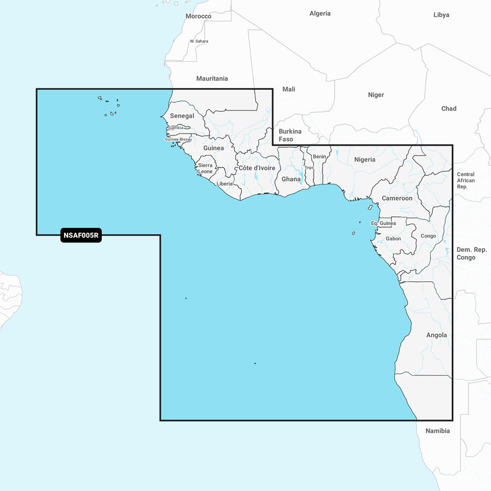
Garmin Navionics+ NSAF005R West Africa Marine Chart
Garmin Navionics+ NSAF005R West Africa Marine Chart
Sold out
The Garmin Navionics+ NSAF005R provides detailed marine mapping for the west coast of Africa, covering the region from Dakar, Senegal to Cape Cross Bay, Namibia. This chart includes detailed coverage of the Cape Verde Islands, Sao Tome and Principe, St Helena Island, Ascension Island, and major ports including Dakar, Lagos, and Luanda.
Key Features:
- Integrated Garmin and Navionics content for coastal areas, lakes, and rivers.
- Auto Guidance+ technology for suggested dock-to-dock routing.
- High-resolution 1' contours for detailed bottom structure depiction.
- Customizable depth range shading with up to 10 color-shaded options.
- Shallow water shading to assist in identifying and avoiding shallow areas.
- Access to the ActiveCaptain community for local boater POIs and recommendations.
- One-year subscription included for daily chart updates via the ActiveCaptain app.
Technical Specifications:
- Format: MicroSD/SD card.
- Chart Code: NSAF005R.
- Compatibility: Requires a compatible GPS chartplotter.
- Regulatory note: Auto Guidance+ is for planning purposes only and does not replace safe navigation operations.
Product facts
- CT SKU
- CT-111694
- Model / MPN
- 010-C1226-20
- UPC / GTIN
- 753759289201
- Package dimensions
- 1" X 4" X 4"
- Package weight
- 0.15 lb
Shipping & returns
Shipping & returns
Shipping methods, delivery estimates, and final costs appear at checkout before payment. Some bulky, supplier-shipped, or special-handling items may ship separately. See Shipping & Returns for return windows and eligibility.
Fit & compatibility
Fit & compatibility
Review the product title, description, images, dimensions, part numbers, and manufacturer details before purchase. For fit-sensitive items, confirm compatibility with your boat, RV, trailer, vehicle, or equipment.
Need help choosing?
Need help choosing?
Send us the product link or SKU, plus details about your boat, RV, trailer, vehicle, or project. We will help you narrow down the right option when product fit is not obvious.