Brand: Garmin
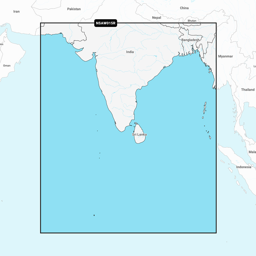
Garmin Navionics+ Indian Subcontinent Marine Chart (NSAW015R)
Garmin Navionics+ Indian Subcontinent Marine Chart (NSAW015R)
Sold out
This Garmin Navionics+ marine chart (NSAW015R) provides comprehensive mapping for the Indian subcontinent, covering coastal areas from Pasni, Pakistan to Sittwe, Myanmar. It includes detailed data for Sri Lanka, the Maldives, the Chagos Archipelago, and the Andaman and Nicobar Islands.
Key Features:
- All-in-one map solution including coastal features, lakes, and rivers with a familiar Navionics color palette.
- Auto Guidance+ technology for suggested dock-to-dock routing through channels and harbors.
- High-resolution depth range shading with up to 10 user-selectable target depth ranges.
- Detailed bottom structure views with up to 1' contours for enhanced navigation and fishing.
- Shallow water shading at user-defined depths to assist in hazard avoidance.
- Access to the ActiveCaptain community for local boater recommendations and points of interest.
- Includes a one-year subscription for daily chart updates via the ActiveCaptain app.
Technical Specifications:
- Format: MicroSD/SD card.
- Included in the box: SD/MSD card.
- Auto Guidance+ is intended for planning purposes only and does not replace safe navigation practices.
Please verify compatibility with your specific GPS chartplotter before use.
Product facts
- CT SKU
- CT-111697
- Model / MPN
- 010-C1230-20
- Package dimensions
- 1" X 4" X 4"
- Package weight
- 1.0 lb
Shipping & returns
Shipping & returns
Shipping methods, delivery estimates, and final costs appear at checkout before payment. Some bulky, supplier-shipped, or special-handling items may ship separately. See Shipping & Returns for return windows and eligibility.
Fit & compatibility
Fit & compatibility
Review the product title, description, images, dimensions, part numbers, and manufacturer details before purchase. For fit-sensitive items, confirm compatibility with your boat, RV, trailer, vehicle, or equipment.
Need help choosing?
Need help choosing?
Send us the product link or SKU, plus details about your boat, RV, trailer, vehicle, or project. We will help you narrow down the right option when product fit is not obvious.