Brand: Garmin
Garmin Navionics+ NSEU003R Marine Chart - Great Britain, Northeast Coast
Garmin Navionics+ NSEU003R Marine Chart - Great Britain, Northeast Coast
Sold out
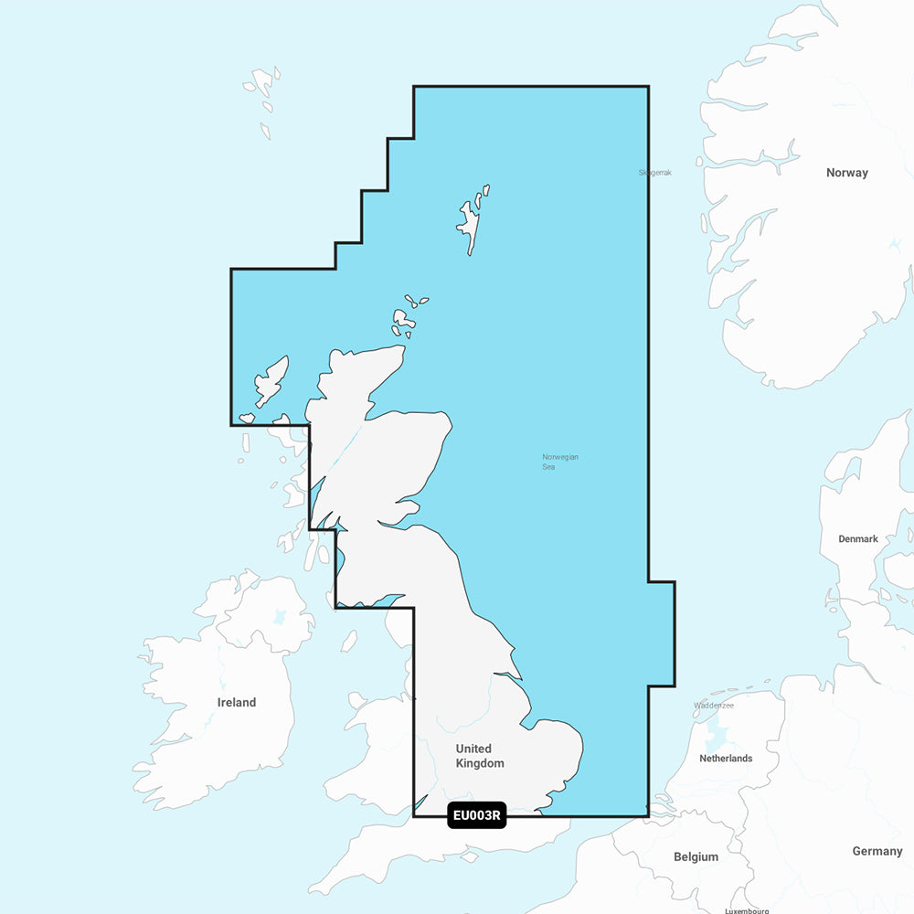
The Garmin Navionics+ NSEU003R marine chart provides comprehensive, up-to-date cartography for the northeast coast of Great Britain, from the mouth of the Thames to the Isle of Lewis, including the Orkney and Shetland Islands and North Sea offshore waters. This all-in-one map solution integrates detailed coastal, lake, and river content, featuring 1' contours and advanced shading options for improved navigation and fishing.
Key Features:
- Coverage includes the Caledonian Canal, Loch Linnhe, Loch Ness, Edinburgh, and London.
- Auto Guidance+ technology provides suggested dock-to-dock routing.
- High-resolution depth range shading with up to 10 customizable target depth ranges.
- Shallow water shading at user-defined depths to improve hazard awareness.
- Includes one-year subscription for daily updates via the ActiveCaptain app.
- Community-sourced POI data through the ActiveCaptain community.
- Format: MicroSD/SD card.
Note: Auto Guidance+ is intended for planning purposes only and does not replace safe navigation practices. Please verify the compatibility of your GPS chartplotter before use.
Product facts
- CT SKU
- CT-111698
- Model / MPN
- 010-C1231-20
- Package dimensions
- 1" X 4" X 4"
- Package weight
- 1.0 lb
Shipping & returns
Shipping & returns
Shipping methods, delivery estimates, and final costs appear at checkout before payment. Some bulky, supplier-shipped, or special-handling items may ship separately. See Shipping & Returns for return windows and eligibility.
Fit & compatibility
Fit & compatibility
Review the product title, description, images, dimensions, part numbers, and manufacturer details before purchase. For fit-sensitive items, confirm compatibility with your boat, RV, trailer, vehicle, or equipment.
Need help choosing?
Need help choosing?
Send us the product link or SKU, plus details about your boat, RV, trailer, vehicle, or project. We will help you narrow down the right option when product fit is not obvious.