Brand: Garmin
Garmin Navionics+ NSEU042R Marine Chart - Oslo to Trelleborg
Garmin Navionics+ NSEU042R Marine Chart - Oslo to Trelleborg
Sold out
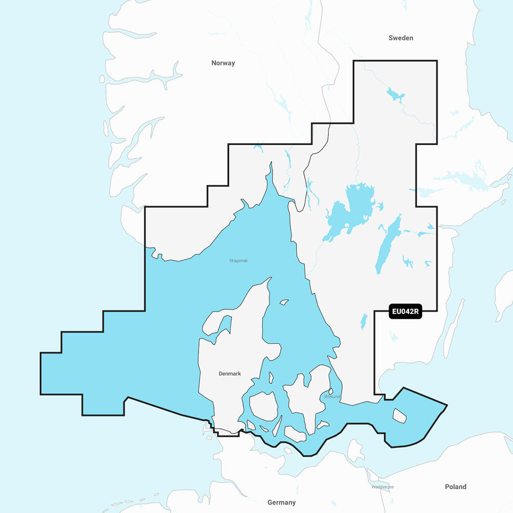
The Garmin Navionics+ NSEU042R is a detailed marine chart covering the coastal regions from Flekkefjord, Norway, to Ystad, Sweden, including the entire coast of Denmark. This all-in-one mapping solution integrates detailed coastal and inland content, featuring high-resolution 1' contours and customizable depth range shading to assist with navigation and fishing.
Key Features:
- Coverage area includes the Limfjord, Kattegat, Oresund, Læsø, Bornholm, and major Swedish lakes including Vänern, Vättern, and Siljan.
- Includes a one-year subscription for daily chart updates accessible via the ActiveCaptain app.
- Built-in Auto Guidance+ technology provides suggested dock-to-dock routing through channels and marinas.
- Shallow water shading allows for user-defined depth visualization to aid in navigation.
- Access to the ActiveCaptain community for local POI recommendations, such as marinas and anchorages.
- Format: MicroSD/SD card.
Note: Auto Guidance+ is for planning purposes only and does not replace safe navigation operations. Please verify compatibility with your specific GPS chartplotter model before use.
Product facts
- CT SKU
- CT-111712
- Model / MPN
- 010-C1245-20
- Package dimensions
- 1" X 4" X 4"
- Package weight
- 1.0 lb
Shipping & returns
Shipping & returns
Shipping methods, delivery estimates, and final costs appear at checkout before payment. Some bulky, supplier-shipped, or special-handling items may ship separately. See Shipping & Returns for return windows and eligibility.
Fit & compatibility
Fit & compatibility
Review the product title, description, images, dimensions, part numbers, and manufacturer details before purchase. For fit-sensitive items, confirm compatibility with your boat, RV, trailer, vehicle, or equipment.
Need help choosing?
Need help choosing?
Send us the product link or SKU, plus details about your boat, RV, trailer, vehicle, or project. We will help you narrow down the right option when product fit is not obvious.