Brand: Garmin
Garmin Navionics+ Marine Chart - Iceland to Turkey (NSEU043R)
Garmin Navionics+ Marine Chart - Iceland to Turkey (NSEU043R)
Sold out
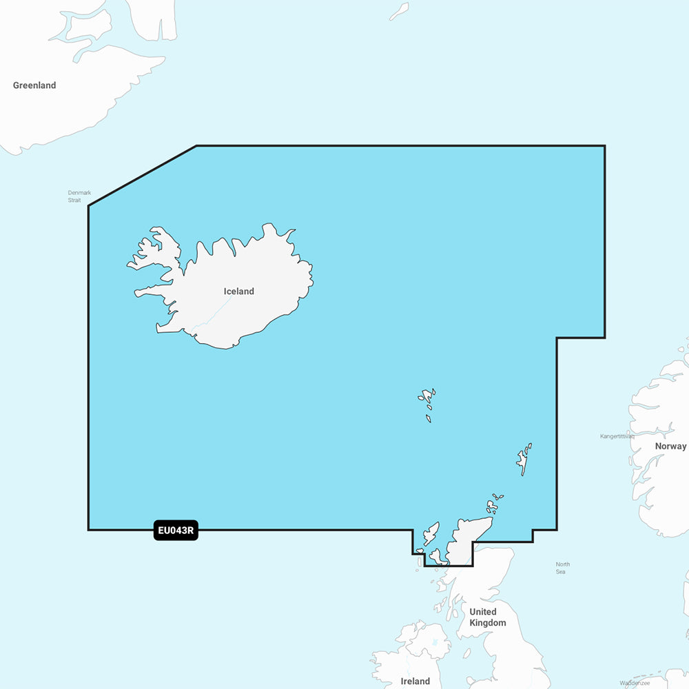
The Garmin Navionics+ marine chart (NSEU043R) provides detailed cartography for compatible chartplotters, covering Iceland, the Faeroe Islands, the Shetland Islands, the Orkney Islands, and the northern tip of Britain. This all-in-one map solution combines coastal and inland data to assist with navigation and route planning.
Key Features:
- Includes a one-year subscription for daily chart updates via the ActiveCaptain app.
- Auto Guidance+ technology offers suggested dock-to-dock routing through channels, inlets, and marinas.
- High-resolution depth range shading with up to 10 customizable color-shaded target depth ranges.
- Detailed contours down to 1' for improved bottom structure visualization in harbors, canals, and coastal areas.
- Shallow water shading for user-defined depth visualization.
- Access to the ActiveCaptain community for local POIs and boater-sourced recommendations.
Technical Specifications:
- Format: MicroSD/SD card.
- Chart Code: NSEU043R.
- Coverage: Includes Reykjavik and Akureyri (Iceland); Torshavn (Faeroe Islands); Lerwick, Stromness, Kirkwall, and Thurso (UK).
Note: Auto Guidance+ is intended for planning purposes only and does not replace safe navigation practices. Please verify chartplotter compatibility prior to purchase.
Product facts
- CT SKU
- CT-111713
- Model / MPN
- 010-C1246-20
- Package dimensions
- 1" X 4" X 4"
- Package weight
- 1.0 lb
Shipping & returns
Shipping & returns
Shipping methods, delivery estimates, and final costs appear at checkout before payment. Some bulky, supplier-shipped, or special-handling items may ship separately. See Shipping & Returns for return windows and eligibility.
Fit & compatibility
Fit & compatibility
Review the product title, description, images, dimensions, part numbers, and manufacturer details before purchase. For fit-sensitive items, confirm compatibility with your boat, RV, trailer, vehicle, or equipment.
Need help choosing?
Need help choosing?
Send us the product link or SKU, plus details about your boat, RV, trailer, vehicle, or project. We will help you narrow down the right option when product fit is not obvious.