Brand: Garmin
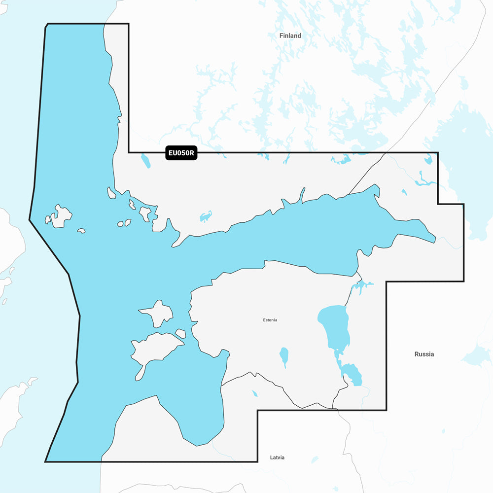
Garmin Navionics+ NSEU050R Gulf of Finland & Riga Marine Chart
Garmin Navionics+ NSEU050R Gulf of Finland & Riga Marine Chart
Sold out
The Garmin Navionics+ NSEU050R is a comprehensive marine charting solution covering the Gulf of Finland and the Gulf of Riga. This chart provides detailed mapping for coastal areas, lakes, and rivers, including coverage from Aland to St. Petersburg, Russia, and major ports like Helsinki, Tallinn, and Riga.
Key Features:
- Detailed bathymetry with up to 1' contours for clear bottom structure mapping.
- Auto Guidance+ technology for calculated dock-to-dock routing.
- High-resolution depth range shading with up to 10 customizable target depth ranges.
- Shallow water shading to assist with hazard avoidance.
- Access to the ActiveCaptain community for user-sourced POIs and local insights.
- Includes a one-year subscription for daily chart updates via the ActiveCaptain app.
Specifications:
- Model: NSEU050R
- Manufacturer Part Number: 010-C1249-20
- Format: MicroSD/SD card
- Note: Auto Guidance+ is intended for planning purposes only and does not replace safe navigation practices. Check chartplotter compatibility prior to purchase.
Product facts
- CT SKU
- CT-111716
- Model / MPN
- 010-C1249-20
- Package dimensions
- 1" X 4" X 4"
- Package weight
- 1.0 lb
Shipping & returns
Shipping & returns
Shipping methods, delivery estimates, and final costs appear at checkout before payment. Some bulky, supplier-shipped, or special-handling items may ship separately. See Shipping & Returns for return windows and eligibility.
Fit & compatibility
Fit & compatibility
Review the product title, description, images, dimensions, part numbers, and manufacturer details before purchase. For fit-sensitive items, confirm compatibility with your boat, RV, trailer, vehicle, or equipment.
Need help choosing?
Need help choosing?
Send us the product link or SKU, plus details about your boat, RV, trailer, vehicle, or project. We will help you narrow down the right option when product fit is not obvious.