Brand: Garmin
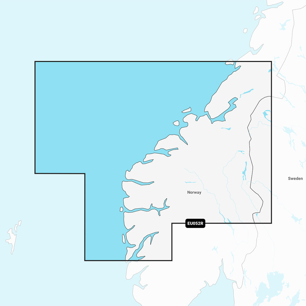
Garmin Navionics+ NSEU052R Marine Chart - Norway, Sognefjord to Svesfjorden
Garmin Navionics+ NSEU052R Marine Chart - Norway, Sognefjord to Svesfjorden
Sold out
The Garmin Navionics+ NSEU052R provides detailed marine mapping for your compatible chartplotter, covering the Norwegian coast from Bergen to Namsos, including Alesund, Trondheim, and the Sognefjord. This all-in-one mapping solution integrates Garmin and Navionics content for coastal features, lakes, and rivers, featuring up to 1' contours for precise bottom structure awareness.
Key Features:
- Includes a one-year subscription for daily chart updates accessible via the ActiveCaptain app.
- Built-in Auto Guidance+ technology provides suggested dock-to-dock routing through channels, inlets, and marinas.
- Advanced depth shading options, including up to 10 user-defined target depth ranges and shallow water shading.
- Access to the ActiveCaptain community for user-contributed POIs, including marinas, anchorages, and hazards.
- Format: MicroSD/SD card.
Note: Auto Guidance+ is intended for planning purposes only and does not replace safe navigation practices. Please verify your GPS chartplotter compatibility before use.
Product facts
- CT SKU
- CT-111718
- Model / MPN
- 010-C1251-20
- Package dimensions
- 1" X 4" X 4"
- Package weight
- 1.0 lb
Shipping & returns
Shipping & returns
Shipping methods, delivery estimates, and final costs appear at checkout before payment. Some bulky, supplier-shipped, or special-handling items may ship separately. See Shipping & Returns for return windows and eligibility.
Fit & compatibility
Fit & compatibility
Review the product title, description, images, dimensions, part numbers, and manufacturer details before purchase. For fit-sensitive items, confirm compatibility with your boat, RV, trailer, vehicle, or equipment.
Need help choosing?
Need help choosing?
Send us the product link or SKU, plus details about your boat, RV, trailer, vehicle, or project. We will help you narrow down the right option when product fit is not obvious.