Brand: Garmin
Garmin Navionics+ NSEU071R Norway Lakes & Rivers Inland Marine Chart
Garmin Navionics+ NSEU071R Norway Lakes & Rivers Inland Marine Chart
Sold out
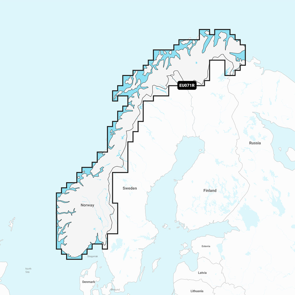
The Garmin Navionics+ NSEU071R Norway Lakes & Rivers Inland Marine Chart provides detailed cartography for compatible GPS chartplotters. This map solution covers various lakes and canals in Norway, including Lake Mjosa, Lake Bandak, Lake Kviteseidvatnet, Lake Flavatn, Lake Norsjo, Lake Heddalsvatnet, the Telemark Canal, and the Oslofjord.
Key Features:
- Includes a one-year subscription for daily chart updates via the ActiveCaptain app.
- Auto Guidance+ technology suggests dock-to-dock paths through channels, inlets, and marinas.
- High-resolution depth range shading with up to 10 customizable color-shaded options.
- Detailed contours up to 1' for improved navigation and bottom structure identification.
- Shallow water shading for user-defined depth visualization.
- Access to community-sourced POIs through the ActiveCaptain app.
- Format: MicroSD/SD card.
Auto Guidance+ is intended for planning purposes only and does not replace safe navigation practices. Please verify compatibility with your specific GPS chartplotter model before use.
Product facts
- CT SKU
- CT-111730
- Model / MPN
- 010-C1266-20
- Package dimensions
- 1" X 4" X 4"
- Package weight
- 1.0 lb
Shipping & returns
Shipping & returns
Shipping methods, delivery estimates, and final costs appear at checkout before payment. Some bulky, supplier-shipped, or special-handling items may ship separately. See Shipping & Returns for return windows and eligibility.
Fit & compatibility
Fit & compatibility
Review the product title, description, images, dimensions, part numbers, and manufacturer details before purchase. For fit-sensitive items, confirm compatibility with your boat, RV, trailer, vehicle, or equipment.
Need help choosing?
Need help choosing?
Send us the product link or SKU, plus details about your boat, RV, trailer, vehicle, or project. We will help you narrow down the right option when product fit is not obvious.