Brand: Garmin
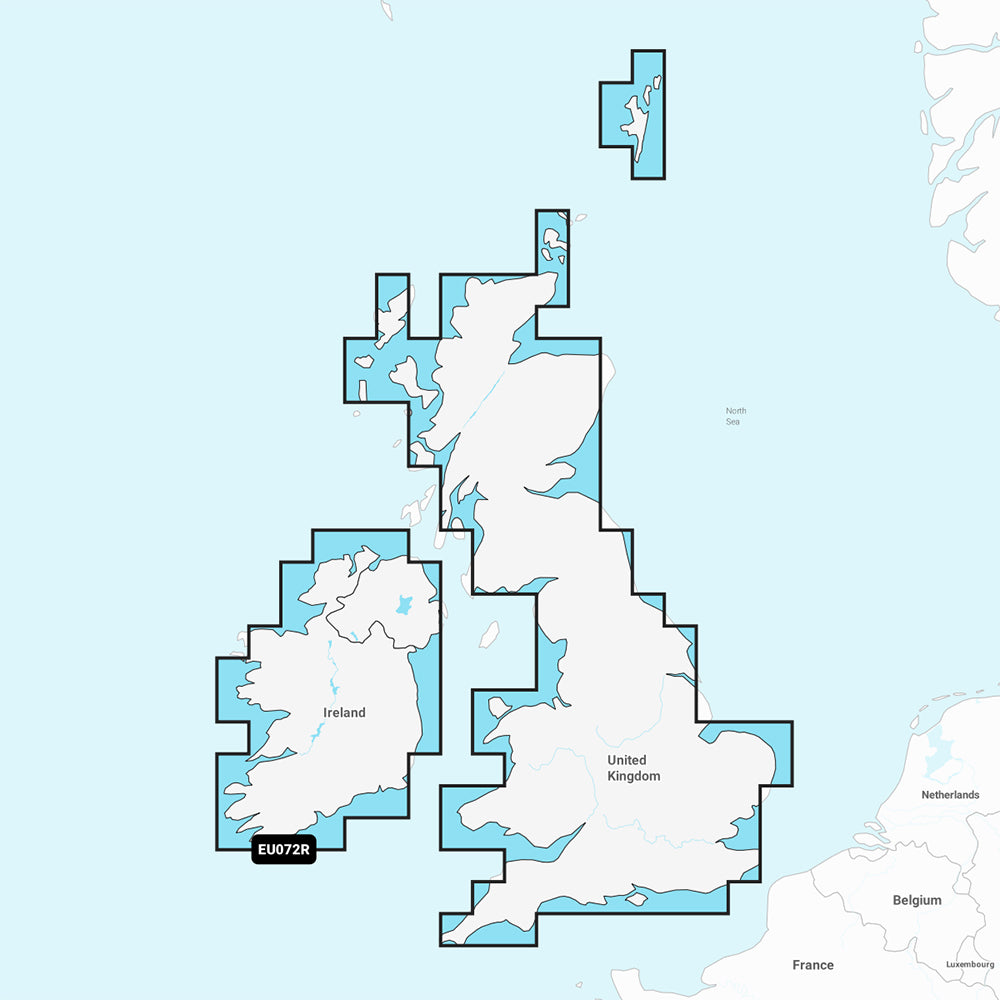
Garmin Navionics+ U.K. & Ireland Lakes & Rivers Marine Chart (NSEU072R)
Garmin Navionics+ U.K. & Ireland Lakes & Rivers Marine Chart (NSEU072R)
Sold out
The Garmin Navionics+ NSEU072R provides detailed marine cartography for major lakes and rivers across the U.K. and Ireland, including the Thames, Mersey, and Shannon rivers, as well as Loch Ness. This all-in-one mapping solution offers coastal and inland coverage with a intuitive, high-detail interface compatible with select GPS chartplotters.
Key Features:
- Advanced Mapping: Includes up to 1' contours for detailed bottom structure and high-resolution depth range shading with up to 10 customizable target depth ranges.
- Navigation Support: Features Auto Guidance+ technology for dock-to-dock routing suggestions and shallow water shading to help identify navigational hazards.
- ActiveCaptain Integration: Access community-sourced POIs and daily chart updates for one year via the ActiveCaptain app.
- Coverage Area: Detailed data for major U.K. and Ireland river and lake systems.
- Format: Supplied on a microSD/SD card.
Note: A one-year subscription for daily chart updates is included with your purchase. Please verify your GPS chartplotter's compatibility prior to use. Auto Guidance+ is intended for planning purposes only and is not a substitute for safe navigation practices.
Product facts
- CT SKU
- CT-111731
- Model / MPN
- 010-C1267-20
- Package dimensions
- 1" X 4" X 4"
- Package weight
- 1.0 lb
Shipping & returns
Shipping & returns
Shipping methods, delivery estimates, and final costs appear at checkout before payment. Some bulky, supplier-shipped, or special-handling items may ship separately. See Shipping & Returns for return windows and eligibility.
Fit & compatibility
Fit & compatibility
Review the product title, description, images, dimensions, part numbers, and manufacturer details before purchase. For fit-sensitive items, confirm compatibility with your boat, RV, trailer, vehicle, or equipment.
Need help choosing?
Need help choosing?
Send us the product link or SKU, plus details about your boat, RV, trailer, vehicle, or project. We will help you narrow down the right option when product fit is not obvious.