Brand: Garmin
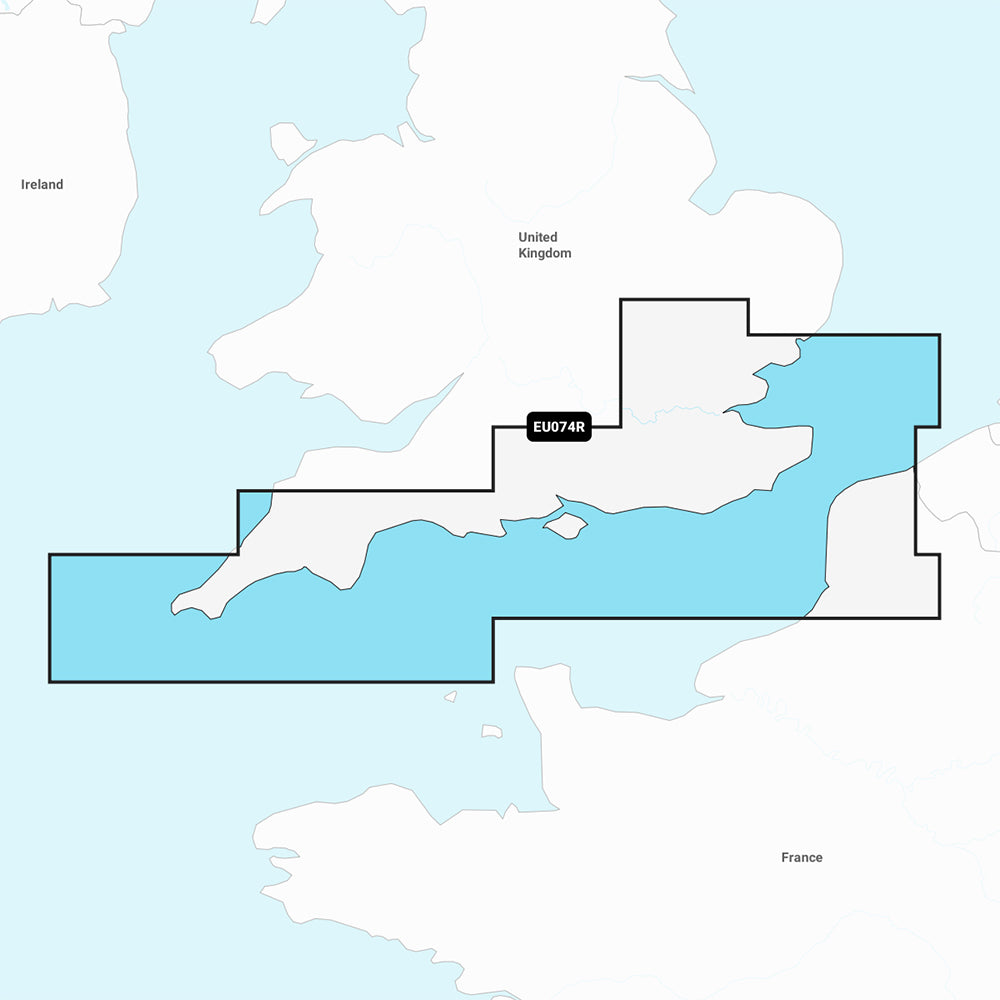
Garmin Navionics+ England, South Coast Marine Chart (NSEU074R)
Garmin Navionics+ England, South Coast Marine Chart (NSEU074R)
Sold out
The Garmin Navionics+ England, South Coast marine chart (NSEU074R) provides comprehensive, up-to-date cartography for your compatible chartplotter. This all-in-one mapping solution offers detailed coverage of the UK south coast from Felixstowe to the Isles of Scilly, including the River Thames to Windsor, the Isle of Wight, and major ports such as London, Dover, Portsmouth, Southampton, and Plymouth. It also includes coverage for the French coast from Dunkirk to Le Treport.
Key Features:
- Includes a one-year subscription for daily chart updates via the ActiveCaptain app.
- Features Auto Guidance+ technology for suggested dock-to-dock routing.
- Provides high-resolution depth range shading with up to 10 customizable target depth ranges.
- Displays up to 1' contours for detailed bottom structure, navigation, and fishing insight.
- Includes shallow water shading to help identify hazards at user-defined depths.
- Accesses the ActiveCaptain community for POIs, marinas, and local boater recommendations.
- Format: MicroSD/SD card.
Coverage Note: This chart covers the south coast of the UK and portions of the French coast, including Calais, France.
Included: MicroSD/SD card.
Product facts
- CT SKU
- CT-111733
- Model / MPN
- 010-C1269-20
- Package dimensions
- 1" X 4" X 4"
- Package weight
- 1.0 lb
Shipping & returns
Shipping & returns
Shipping methods, delivery estimates, and final costs appear at checkout before payment. Some bulky, supplier-shipped, or special-handling items may ship separately. See Shipping & Returns for return windows and eligibility.
Fit & compatibility
Fit & compatibility
Review the product title, description, images, dimensions, part numbers, and manufacturer details before purchase. For fit-sensitive items, confirm compatibility with your boat, RV, trailer, vehicle, or equipment.
Need help choosing?
Need help choosing?
Send us the product link or SKU, plus details about your boat, RV, trailer, vehicle, or project. We will help you narrow down the right option when product fit is not obvious.