Brand: Garmin
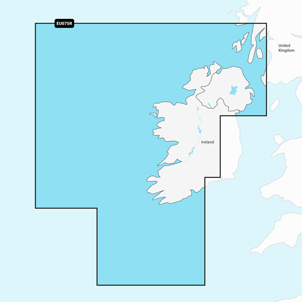
Garmin Navionics+ Marine Chart - Ireland, West Coast (NSEU075R)
Garmin Navionics+ Marine Chart - Ireland, West Coast (NSEU075R)
Sold out
This Garmin Navionics+ marine chart (NSEU075R) provides detailed, up-to-date cartography for your compatible chartplotter. It offers comprehensive coverage of the north and western coasts of Ireland from Cork to Belfast, including the Shannon and Shannon-Erne Waterways, Galway Bay, Lough Neagh, and the southwestern Scottish coast from Colonsay to Campbelltown.
Key Features:
- Includes a one-year subscription for daily chart updates via the ActiveCaptain app.
- Features Auto Guidance+ technology for suggested dock-to-dock routing.
- Provides high-resolution detail with up to 1' bottom contours.
- Offers customizable depth range shading and shallow water shading to aid in navigation and fishing.
- Includes access to the ActiveCaptain community for local POI recommendations and hazard alerts.
- Delivered on a microSD/SD card.
Note: Auto Guidance+ is intended for planning purposes only and does not replace safe navigation practices. Please verify chartplotter compatibility before purchase.
Product facts
- CT SKU
- CT-111700
- Model / MPN
- 010-C1233-20
- Package dimensions
- 1" X 4" X 4"
- Package weight
- 1.0 lb
Shipping & returns
Shipping & returns
Shipping methods, delivery estimates, and final costs appear at checkout before payment. Some bulky, supplier-shipped, or special-handling items may ship separately. See Shipping & Returns for return windows and eligibility.
Fit & compatibility
Fit & compatibility
Review the product title, description, images, dimensions, part numbers, and manufacturer details before purchase. For fit-sensitive items, confirm compatibility with your boat, RV, trailer, vehicle, or equipment.
Need help choosing?
Need help choosing?
Send us the product link or SKU, plus details about your boat, RV, trailer, vehicle, or project. We will help you narrow down the right option when product fit is not obvious.