Brand: Garmin
Garmin Navionics+ Marine Chart - Baltic Sea, East Coast (NSEU081R)
Garmin Navionics+ Marine Chart - Baltic Sea, East Coast (NSEU081R)
Sold out
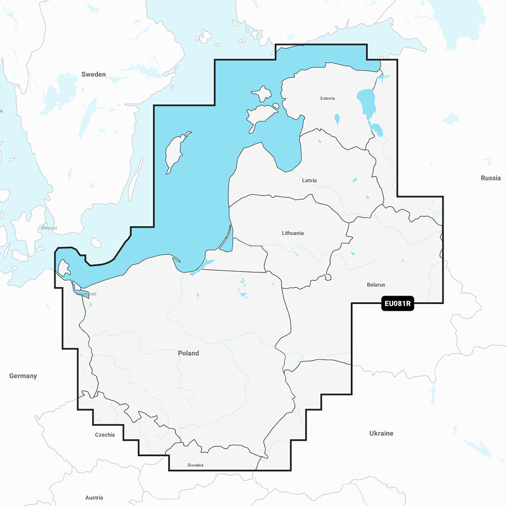
This Garmin Navionics+ marine chart (NSEU081R) provides detailed coastal and inland mapping for the Baltic Sea, East Coast, covering areas from the German border to Narva-Jõesuu, Estonia. It includes coverage for Poland, Russia, Lithuania, Latvia, and Estonia, featuring extensive lakes and rivers, including the Masurian District Lakes and major regional waterways.
Key Features:
- All-in-one coastal and inland mapping with combined Garmin and Navionics content.
- Includes a one-year subscription for daily chart updates via the ActiveCaptain app.
- Auto Guidance+ technology suggests dock-to-dock paths through channels, inlets, and marinas.
- High-resolution depth range shading with up to 10 customizable target depth ranges.
- Up to 1' contour detail for precise bottom structure visualization.
- User-defined shallow water shading to assist in navigation.
- Access to the ActiveCaptain community for POIs, hazards, and local recommendations.
Specifications and Compatibility:
- Format: MicroSD/SD card.
- Compatibility: Designed for use with compatible Garmin GPS chartplotters.
- Coverage: Baltic Sea coasts of Poland, Russia, Lithuania, Latvia, and Estonia; major rivers and lakes including the Oder, Vistula, Neman, Daugava, Lake Peipus, and Masurian District Lakes.
Auto Guidance+ is for planning purposes only and does not replace safe navigation operations.
Product facts
- CT SKU
- CT-111726
- Model / MPN
- 010-C1260-20
- Package dimensions
- 1" X 4" X 4"
- Package weight
- 1.0 lb
Shipping & returns
Shipping & returns
Shipping methods, delivery estimates, and final costs appear at checkout before payment. Some bulky, supplier-shipped, or special-handling items may ship separately. See Shipping & Returns for return windows and eligibility.
Fit & compatibility
Fit & compatibility
Review the product title, description, images, dimensions, part numbers, and manufacturer details before purchase. For fit-sensitive items, confirm compatibility with your boat, RV, trailer, vehicle, or equipment.
Need help choosing?
Need help choosing?
Send us the product link or SKU, plus details about your boat, RV, trailer, vehicle, or project. We will help you narrow down the right option when product fit is not obvious.