Brand: Garmin
Garmin Navionics+ NSEU643L Mediterranean and Black Sea Marine Chart
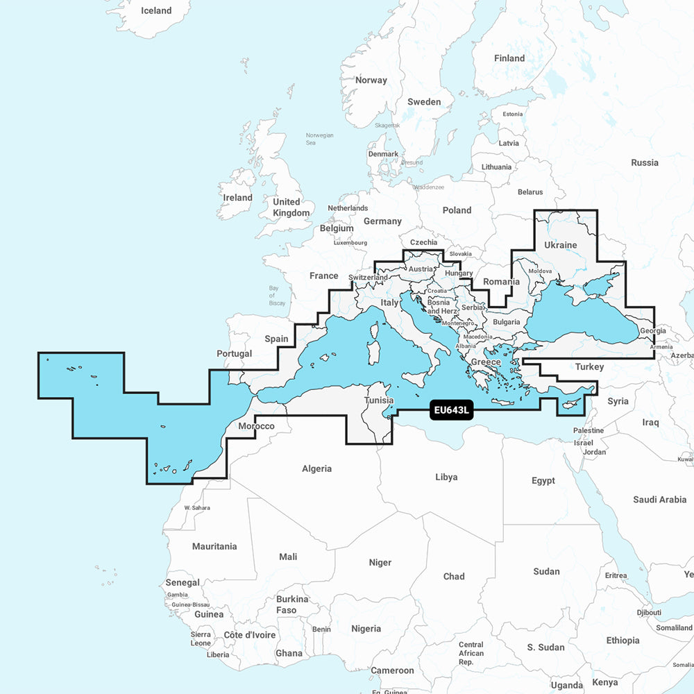
Garmin Navionics+ NSEU643L Mediterranean and Black Sea Marine Chart
Sold out
The Garmin Navionics+ NSEU643L is a detailed marine cartography solution providing coverage of the Mediterranean and Black Seas, including the Azores, Canary Islands, Balearic Islands, and major rivers like the Dnieper and Danube. This all-in-one map solution integrates Garmin and Navionics content for coastal, lake, and river navigation on compatible chartplotters.
Key Features:
- Includes a one-year subscription for daily chart updates accessible via the ActiveCaptain app.
- Built-in Auto Guidance+ technology provides suggested dock-to-dock routing through channels and inlets.
- High-resolution depth range shading allows for up to 10 user-defined color-shaded target depth ranges.
- Detailed bottom structure depiction with up to 1' contours for improved fishing and navigation.
- Shallow water shading feature helps identify hazards at user-defined depths.
- Access to the ActiveCaptain community for user-sourced POIs, including marinas, anchorages, and local recommendations.
- Format: MicroSD/SD card.
Coverage Details: Includes islands such as Madeira, Corsica, Sardinia, Sicily, Malta, Crete, and Cyprus, as well as the Dardanelles, Bosporus, Sea of Azov, Lake Balaton, Lake Garda, Lake Como, and Lake Maggiore. Major ports covered range from Cadiz and Barcelona to Istanbul, Odessa, Tunis, and Algiers.
Note: Auto Guidance+ is intended for planning purposes only and does not replace safe navigation practices. Please verify compatibility with your specific GPS chartplotter before use.
Product facts
- CT SKU
- CT-111736
- Model / MPN
- 010-C1272-20
- UPC / GTIN
- 753759289669
- Package dimensions
- 1" X 1" X 6"
- Package weight
- 0.2 lb
Shipping & returns
Shipping & returns
Shipping methods, delivery estimates, and final costs appear at checkout before payment. Some bulky, supplier-shipped, or special-handling items may ship separately. See Shipping & Returns for return windows and eligibility.
Fit & compatibility
Fit & compatibility
Review the product title, description, images, dimensions, part numbers, and manufacturer details before purchase. For fit-sensitive items, confirm compatibility with your boat, RV, trailer, vehicle, or equipment.
Need help choosing?
Need help choosing?
Send us the product link or SKU, plus details about your boat, RV, trailer, vehicle, or project. We will help you narrow down the right option when product fit is not obvious.