Brand: Garmin
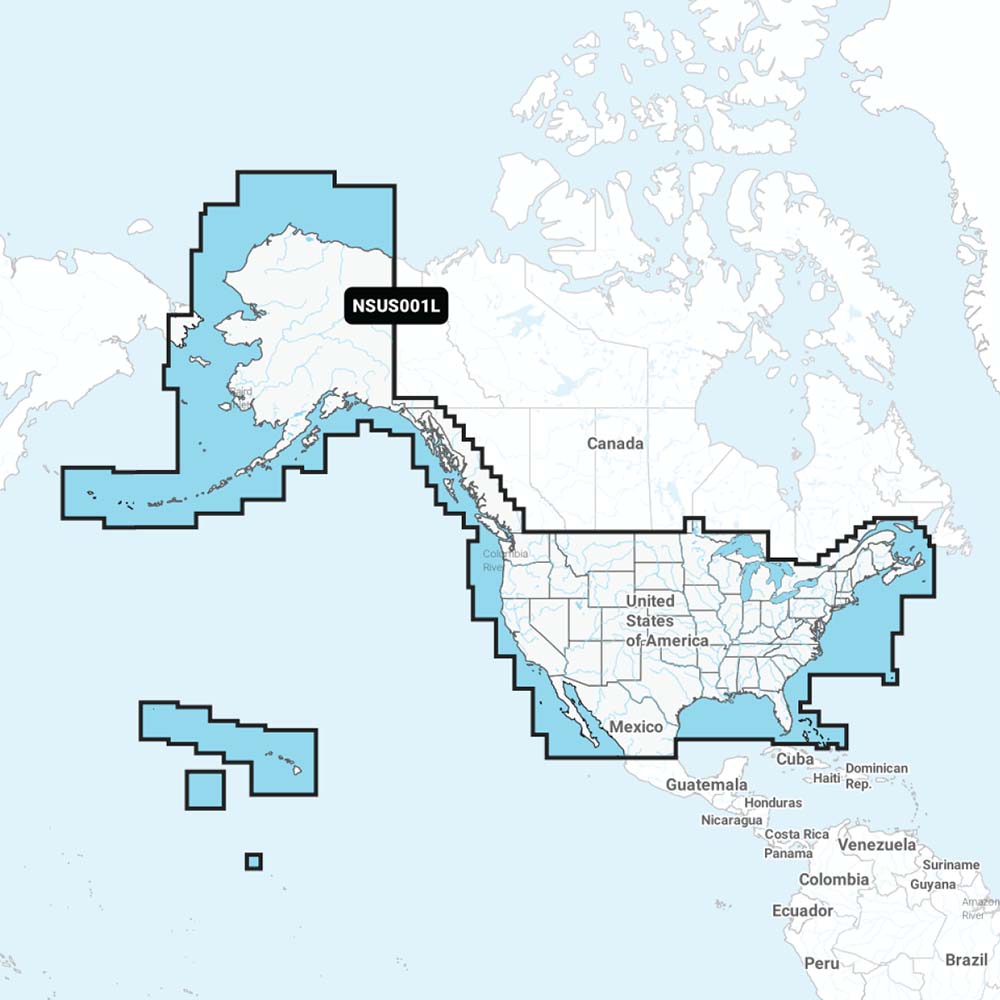
Garmin Navionics+ NSUS001L US and Coastal Canada Chart Card
Garmin Navionics+ NSUS001L US and Coastal Canada Chart Card
Sold out
The Garmin Navionics+ NSUS001L is a comprehensive marine mapping solution covering coastal waters, lakes, and rivers across the United States and Coastal Canada. This all-in-one card integrates Garmin and Navionics content, providing detailed bathymetry and advanced navigation features for compatible chartplotters.
Key Features:
- Provides SonarChart 1' (0.5 meter) HD bathymetry for improved bottom structure detail.
- Includes dock-to-dock route guidance technology for suggested paths through channels, inlets, and marinas.
- Features SonarChart Live mapping, allowing for the creation of personal 1' HD bathymetry maps in real time.
- Includes advanced display options such as shallow water shading and user-defined fishing depth range highlighting.
- Supports community edits, allowing users to view local information contributed by Navionics Boating app users.
- Includes the first year of chart updates, which can be managed via the Navionics Chart Installer software or wirelessly using the Plotter Sync feature and the Navionics Boating app.
- Delivered on a microSD card.
Compatibility:
- Echomap UHD (7" and 9" models)
- Echomap Ultra (10" and 12" models)
- GPSmap 10X2, 12X2, 12X2 Touch, 12X2 Plus, 7X2, 9X2
- GPSmap 7X3, 9X3, 12X3
- GPSmap 8400, 8600, and 8700 Black Box systems
Note: Route guidance is for planning purposes only and does not replace safe navigation operations. Plotter Sync requires an active subscription of the same area on the Navionics Boating app.
Product facts
- CT SKU
- CT-110651
- Model / MPN
- 010-C1287-20
- UPC / GTIN
- 753759289812
- Package dimensions
- 1" X 4" X 6"
- Package weight
- 0.17 lb
Shipping & returns
Shipping & returns
Shipping methods, delivery estimates, and final costs appear at checkout before payment. Some bulky, supplier-shipped, or special-handling items may ship separately. See Shipping & Returns for return windows and eligibility.
Fit & compatibility
Fit & compatibility
Review the product title, description, images, dimensions, part numbers, and manufacturer details before purchase. For fit-sensitive items, confirm compatibility with your boat, RV, trailer, vehicle, or equipment.
Need help choosing?
Need help choosing?
Send us the product link or SKU, plus details about your boat, RV, trailer, vehicle, or project. We will help you narrow down the right option when product fit is not obvious.