Brand: Garmin
Garmin Navionics Vision+ South America (North) Chart Card - NSSA011R
Garmin Navionics Vision+ South America (North) Chart Card - NSSA011R
Sold out
Garmin Navionics Vision+ NSSA011R provides comprehensive marine cartography for South America (North) in a convenient microSD and SD card format. This all-in-one map solution integrates detailed Garmin and Navionics coastal and inland content, offering superior situational awareness for your compatible Garmin chartplotter.
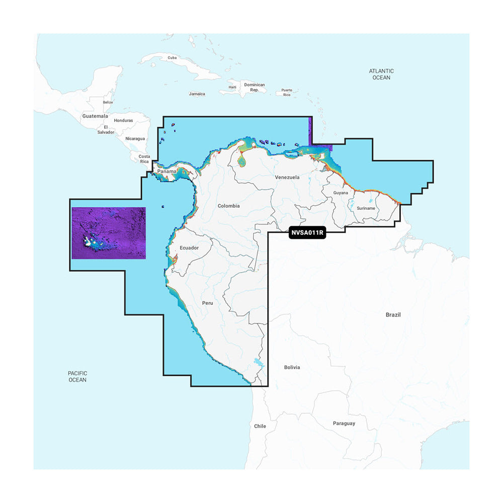
- Extensive Coverage: Includes the entire coast of Panama, including the Canal, plus coastal coverage for Peru, Ecuador, Colombia, Venezuela, Trinidad and Tobago, Guyana, Suriname, and French Guiana.
- Advanced Navigation: Features Auto Guidance+ technology for suggested dock-to-dock routing and up to 1 ft. contours for precise bottom structure detail.
- Customized Mapping: Includes 10 color-shaded target depth ranges, shallow water shading, and dynamic lake level adjustments.
- Premium Vision+ Features: Access high-resolution relief shading, high-resolution satellite imagery, crystal-clear aerial photography of landmarks, and 3D perspectives including Fisheye and Marinereye views.
- ActiveCaptain Integration: Includes a one-year subscription for daily chart updates and access to the ActiveCaptain community for POIs and local recommendations via the smart-device app.
Product facts
- CT SKU
- CT-114544
- Model / MPN
- 010-C1452-00
- UPC / GTIN
- 753759320546
- Package dimensions
- 1" X 4" X 6"
- Package weight
- 0.15 lb
Shipping & returns
Shipping & returns
Shipping methods, delivery estimates, and final costs appear at checkout before payment. Some bulky, supplier-shipped, or special-handling items may ship separately. See Shipping & Returns for return windows and eligibility.
Fit & compatibility
Fit & compatibility
Review the product title, description, images, dimensions, part numbers, and manufacturer details before purchase. For fit-sensitive items, confirm compatibility with your boat, RV, trailer, vehicle, or equipment.
Need help choosing?
Need help choosing?
Send us the product link or SKU, plus details about your boat, RV, trailer, vehicle, or project. We will help you narrow down the right option when product fit is not obvious.