Brand: Garmin
Garmin Navionics Vision+ NVUS011R Canada North Chart microSD/SD
Garmin Navionics Vision+ NVUS011R Canada North Chart microSD/SD
Sold out
The Garmin Navionics Vision+ NVUS011R Canada North provides detailed marine mapping for Garmin chartplotters. This all-in-one solution includes both coastal and inland coverage, featuring high-resolution satellite imagery, aerial photography, and 3D views to assist with navigation and situational awareness.
- Compatible with Garmin chartplotters using microSD/SD card formats.
- Includes a one-year subscription for daily chart updates via the ActiveCaptain app.
- Auto Guidance+ technology offers suggested dock-to-dock routing.
- High-resolution relief shading and up to 1' contours provide detailed bottom structure views.
- Depth range shading allows for up to 10 user-selected target depth ranges.
- Shallow water shading and dynamic lake level adjustments help monitor navigable areas.
- Features community-sourced POIs through the ActiveCaptain community.
- Premium features include 3D Fisheye and Marinereye views, high-resolution satellite imagery, and aerial photography.
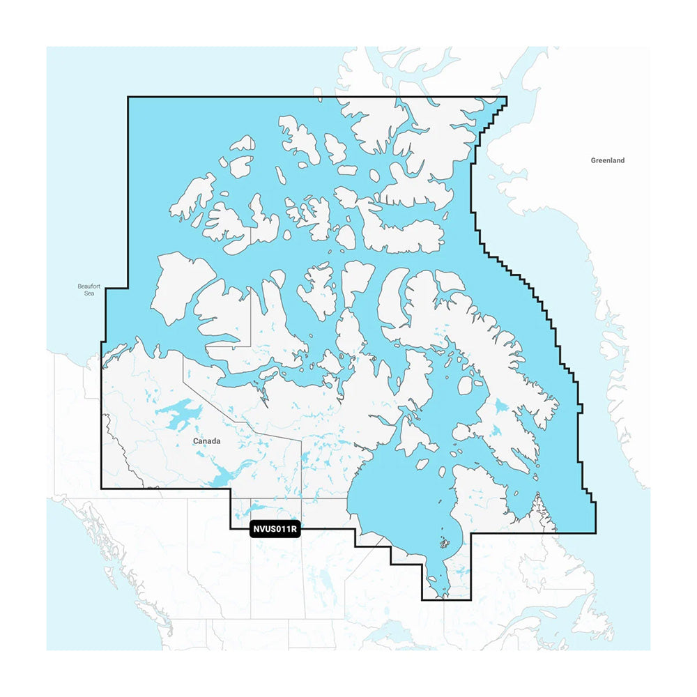
Coverage Area: Northern, coastal, and inland Canada, including the Northwest Territories, Nunavut, northern Quebec, Hudson Bay, Hudson Strait, and the Northwestern Passage.
Product facts
- CT SKU
- CT-114546
- Model / MPN
- 010-C1454-00
- Package dimensions
- 1" X 4" X 6"
- Package weight
- 0.15 lb
Shipping & returns
Shipping & returns
Shipping methods, delivery estimates, and final costs appear at checkout before payment. Some bulky, supplier-shipped, or special-handling items may ship separately. See Shipping & Returns for return windows and eligibility.
Fit & compatibility
Fit & compatibility
Review the product title, description, images, dimensions, part numbers, and manufacturer details before purchase. For fit-sensitive items, confirm compatibility with your boat, RV, trailer, vehicle, or equipment.
Need help choosing?
Need help choosing?
Send us the product link or SKU, plus details about your boat, RV, trailer, vehicle, or project. We will help you narrow down the right option when product fit is not obvious.