Brand: Garmin
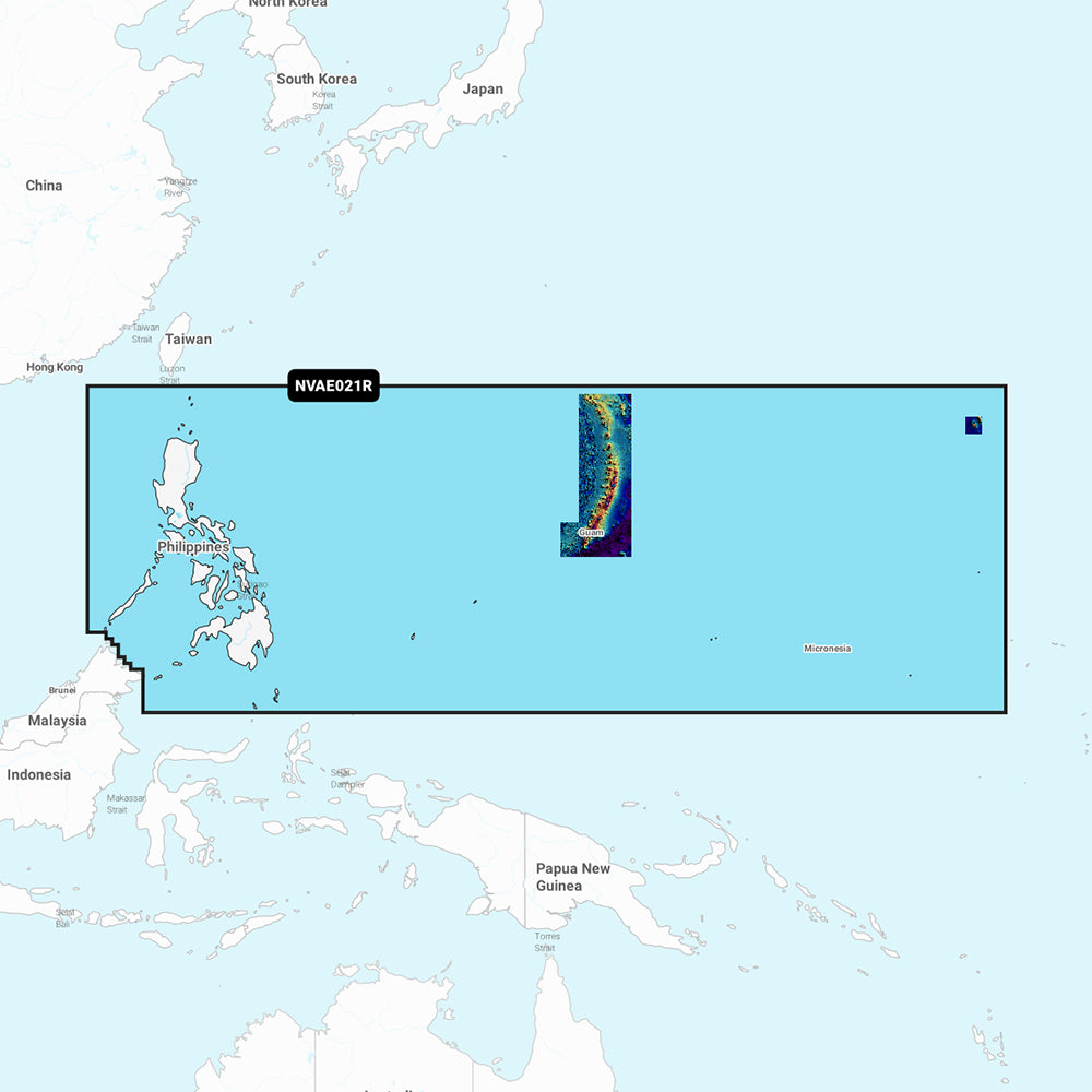
Garmin Navionics Vision+ Marine Chart - Philippines (NVAE021R)
Garmin Navionics Vision+ Marine Chart - Philippines (NVAE021R)
Sold out
The Garmin Navionics Vision+ NVAE021R provides detailed marine cartography for the Philippines and the Micronesian islands, including the Marianas, Palau, Guam, Saipan, and Wake Island. This all-in-one mapping solution offers integrated coastal and inland coverage, designed for use with compatible Garmin chartplotters.
Key Features:
- Includes a one-year subscription for daily chart updates accessible via the ActiveCaptain app.
- Auto Guidance+ technology provides suggested dock-to-dock routing through channels and marinas.
- Advanced visual tools including high-resolution depth range shading, shallow water shading, and up to 1' bottom contours.
- Detailed perspective views including 3D Fisheye, 3D Marinereye, and high-resolution satellite imagery with aerial photography.
- Community-sourced POIs through the ActiveCaptain app for local recommendations on marinas, anchorages, and hazards.
- Dynamic lake level adjustment to see water accessibility based on current levels.
Technical Specifications:
- Format: MicroSD/SD card.
- Chart Code: NVAE021R.
Note: Auto Guidance+ is intended for planning purposes only and does not replace safe navigation practices. Please verify compatibility with your specific GPS chartplotter before use.
Product facts
- CT SKU
- CT-111745
- Model / MPN
- 010-C1219-00
- Package dimensions
- 2" X 4" X 6"
- Package weight
- 1.0 lb
Shipping & returns
Shipping & returns
Shipping methods, delivery estimates, and final costs appear at checkout before payment. Some bulky, supplier-shipped, or special-handling items may ship separately. See Shipping & Returns for return windows and eligibility.
Fit & compatibility
Fit & compatibility
Review the product title, description, images, dimensions, part numbers, and manufacturer details before purchase. For fit-sensitive items, confirm compatibility with your boat, RV, trailer, vehicle, or equipment.
Need help choosing?
Need help choosing?
Send us the product link or SKU, plus details about your boat, RV, trailer, vehicle, or project. We will help you narrow down the right option when product fit is not obvious.