Brand: Garmin
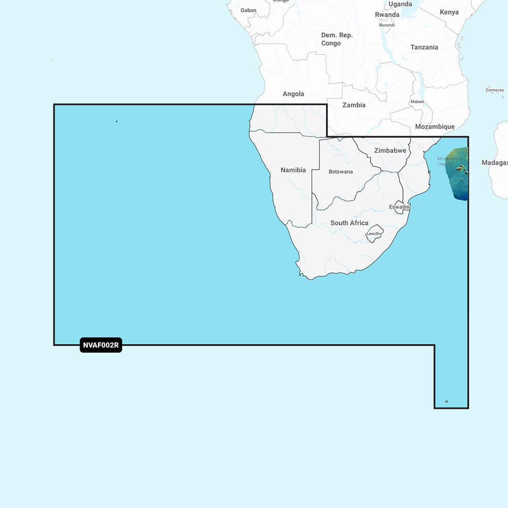
Garmin Navionics Vision+ Marine Chart - South Africa (NVAF002R)
Garmin Navionics Vision+ Marine Chart - South Africa (NVAF002R)
Sold out
The Garmin Navionics Vision+ NVAF002R provides detailed marine mapping for southern Africa, covering the coast from Namibe, Angola to the Zambezi Delta in Mozambique. This chart includes integrated coastal and inland content, featuring popular Navionics color palettes and advanced navigation tools for your compatible Garmin chartplotter.
Key Features:
- Coverage: Includes detailed maps for Cape Town, Port Elizabeth, East London, Durban, and Maputo, as well as Tristan da Cunha, St. Helena, Gough, and Prince Edward Islands.
- Auto Guidance+ Technology: Generates suggested dock-to-dock routing through channels, inlets, and marinas.
- Advanced Shading: Features high-resolution depth range shading with up to 10 customizable target depth ranges and user-defined shallow water shading.
- Detailed Mapping: Includes up to 1' bottom contours for enhanced clarity of canals, harbors, and marinas.
- Visualization Tools: Offers high-resolution satellite imagery, aerial photography, 3D Fisheye view, and 3D Marinereye view for improved situational awareness.
- Community Content: Access ActiveCaptain community-sourced POIs, including marinas, anchorages, and hazards.
- Dynamic Lake Level: Adjust map displays to reflect current water levels.
- Subscription: Includes a one-year subscription for daily chart updates via the ActiveCaptain app.
Specifications:
- Format: MicroSD/SD card.
- Part Number: 010-C1225-00.
- Included: SD/MicroSD card.
Auto Guidance+ is for planning purposes only and does not replace safe navigation operations.
Product facts
- CT SKU
- CT-111751
- Model / MPN
- 010-C1225-00
- Package dimensions
- 1" X 1" X 6"
- Package weight
- 0.1 lb
Shipping & returns
Shipping & returns
Shipping methods, delivery estimates, and final costs appear at checkout before payment. Some bulky, supplier-shipped, or special-handling items may ship separately. See Shipping & Returns for return windows and eligibility.
Fit & compatibility
Fit & compatibility
Review the product title, description, images, dimensions, part numbers, and manufacturer details before purchase. For fit-sensitive items, confirm compatibility with your boat, RV, trailer, vehicle, or equipment.
Need help choosing?
Need help choosing?
Send us the product link or SKU, plus details about your boat, RV, trailer, vehicle, or project. We will help you narrow down the right option when product fit is not obvious.