Brand: Garmin
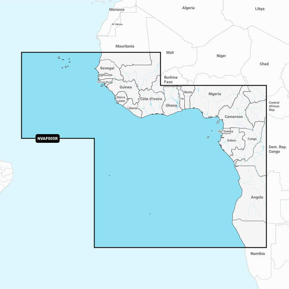
Garmin Navionics Vision+ NVAF005R Marine Chart - West Africa
Garmin Navionics Vision+ NVAF005R Marine Chart - West Africa
Sold out
The Garmin Navionics Vision+ NVAF005R is a comprehensive marine mapping solution providing detailed coverage of the west coast of Africa from Dakar, Senegal to Cape Cross Bay, Namibia. This chart includes detailed data for the Cape Verde Islands, Sao Tome and Principe, St. Helena Island, Ascension Island, and major ports including Dakar, Lagos, and Luanda.
Key Features:
- Includes a one-year subscription for daily chart updates via the ActiveCaptain app.
- Features Auto Guidance+ technology for suggested dock-to-dock routing.
- Provides high-resolution depth range shading with up to 10 customizable target depth ranges.
- Offers detailed bottom structure views with up to 1' contours.
- Includes high-resolution satellite imagery, aerial photography, and 3D perspectives including Fisheye and Marinereye views.
- Supports shallow water shading to help identify navigational hazards.
- Integrated content features coastal features, lakes, and rivers.
- Compatible with the ActiveCaptain community for user-sourced points of interest.
- Dynamic lake level adjustment allows for viewing maps based on current water levels.
Specifications:
- Format: MicroSD/SD card.
- Included in the box: One SD/MSD card.
- Regulatory note: Auto Guidance+ is intended for planning purposes only and does not replace safe navigation practices.
Product facts
- CT SKU
- CT-111752
- Model / MPN
- 010-C1226-00
- Package dimensions
- 1" X 1" X 6"
- Package weight
- 0.1 lb
Shipping & returns
Shipping & returns
Shipping methods, delivery estimates, and final costs appear at checkout before payment. Some bulky, supplier-shipped, or special-handling items may ship separately. See Shipping & Returns for return windows and eligibility.
Fit & compatibility
Fit & compatibility
Review the product title, description, images, dimensions, part numbers, and manufacturer details before purchase. For fit-sensitive items, confirm compatibility with your boat, RV, trailer, vehicle, or equipment.
Need help choosing?
Need help choosing?
Send us the product link or SKU, plus details about your boat, RV, trailer, vehicle, or project. We will help you narrow down the right option when product fit is not obvious.