Brand: Garmin
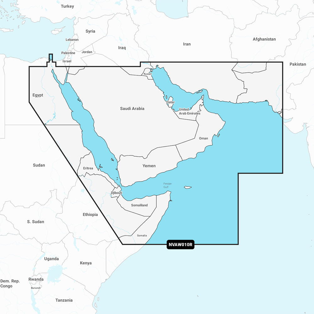
Garmin Navionics Vision+ Marine Chart NVAW010R - The Gulf & Red Sea
Garmin Navionics Vision+ Marine Chart NVAW010R - The Gulf & Red Sea
Sold out
The Garmin Navionics Vision+ NVAW010R is a comprehensive marine mapping solution for the Gulf and Red Sea, providing detailed coastal coverage for compatible chartplotters. This cartography set includes the Suez Canal, the Gulfs of Aden and Oman, and the coastal regions of the Arabian Peninsula, Iran, and Pakistan.
Features:
- Includes a one-year subscription for daily chart updates via the ActiveCaptain app.
- Features Auto Guidance+ technology for automated dock-to-dock routing suggestions.
- Offers high-resolution depth range shading with up to 10 customizable target depth ranges.
- Provides 1' bottom contour detail for improved navigation and fishing charts.
- Includes shallow water shading to help identify potential hazards.
- Provides high-resolution satellite imagery, aerial photography, and 3D perspectives (Fisheye and Marinereye views).
- Supports dynamic lake level adjustments and community-sourced POI data through the ActiveCaptain network.
Technical Specifications:
- Format: MicroSD/SD card.
- Compatibility: Verify compatibility with your specific GPS chartplotter device before use.
Note: Auto Guidance+ is intended for planning purposes only and does not replace safe navigation practices.
Product facts
- CT SKU
- CT-111754
- Model / MPN
- 010-C1229-00
- Package dimensions
- 1" X 1" X 6"
- Package weight
- 0.1 lb
Shipping & returns
Shipping & returns
Shipping methods, delivery estimates, and final costs appear at checkout before payment. Some bulky, supplier-shipped, or special-handling items may ship separately. See Shipping & Returns for return windows and eligibility.
Fit & compatibility
Fit & compatibility
Review the product title, description, images, dimensions, part numbers, and manufacturer details before purchase. For fit-sensitive items, confirm compatibility with your boat, RV, trailer, vehicle, or equipment.
Need help choosing?
Need help choosing?
Send us the product link or SKU, plus details about your boat, RV, trailer, vehicle, or project. We will help you narrow down the right option when product fit is not obvious.