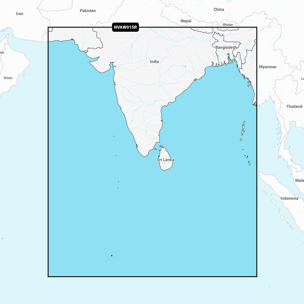
Skip to product information
1 of 1
1 product view Open images for a closer look Compare photos with product details

Garmin

Garmin Navionics Vision+ Indian Subcontinent Marine Chart, microSD/SD

Garmin Navionics Vision+ Indian Subcontinent Marine Chart, microSD/SD

SKUCT-111755

Regular price $242.18
Regular price Sale price $242.18
Sale Sold out
Shipping calculated at checkout.
Shipping rewards at $100 U.S. orders of $100 or more get free standard shipping, plus $10 off Expedited and Overnight.

Out of stock

Quantity
Use the Tug & Tow SKUInclude this SKU when you contact us about fit, availability, or reorders.
Delivery shown at checkoutShipping options, final costs, and delivery estimates appear before payment.
Check fit before orderingReview dimensions, part numbers, model details, and compatibility notes.
Confirm the details before checkoutFit can depend on your boat, RV, trailer, vehicle, or equipment. Contact us before ordering if compatibility is critical.Ask a product question

Product details

Review the details before ordering.

Navigate the expansive waters of the Indian subcontinent with unmatched confidence using the Garmin Navionics Vision+ marine chart. Recognized as the world's No. 1 choice in marine mapping, this all-in-one cartography solution provides comprehensive detail for coastal features, lakes, and rivers, making it easier to plot your course and identify key navigation points. Plan your next adventure with superior situational awareness and the reliability of Garmin technology. Upgrade your chartplotter today for smarter, safer journeys.

In the Box:

  • Garmin Navionics Vision+ Indian Subcontinent Marine Chart (MicroSD/SD Card)

Key Features:

  • Extensive Coverage: Delivers detailed coastal coverage for the Indian subcontinent, encompassing Sri Lanka, the Andaman and Nicobar Islands, the Chagos Archipelago, and the Maldives, including major ports like Karachi, Pakistan; Calcutta and Mumbai, India; and the Male Atoll.
  • Daily Chart Updates: Benefit from a included one-year subscription to daily chart updates, ensuring you always have the most current information for safe navigation via the ActiveCaptain app.
  • Auto Guidance+ Technology: Experience enhanced navigation with suggested dock-to-dock routes through channels, inlets, and marina entrances, combining the best of Garmin and Navionics automatic routing features.
  • High-Resolution Contours: Access up to 1-foot contours for a clear depiction of bottom structure, greatly improving fishing charts and providing enhanced detail in swamps, canals, and harbors.
  • Depth Range Shading: Customize your view with up to 10 color-shaded options to highlight target depth ranges, making it simple to identify ideal fishing spots or safe passage.
  • Shallow Water Shading: Define a user-set depth to display shading for shallow areas, providing a clear visual cue to help avoid potential hazards.
  • High-Resolution Relief Shading: Offers an easy-to-interpret, clearer view of bottom structure by combining color and shadow, surpassing traditional contour lines alone.
  • High-Resolution Satellite Imagery: Enhance your situational awareness with downloadable high-resolution satellite imagery for a more realistic view of your surroundings.
  • Aerial Photography: Gain a better sense of your surroundings above the waterline with crystal-clear aerial and surface photos of ports, marinas, bridges, and other navigational landmarks.
  • 3D Fisheye and MarinerEye Views: Utilize 3D representations of bottom contours from below the waterline (Fisheye View) and the surrounding area both above and below the waterline (MarinerEye View) for comprehensive spatial understanding.
  • ActiveCaptain Community Integration: Access community-sourced content, including useful points of interest such as marinas, anchorages, and hazards, providing valuable insights from fellow boaters.

Compatibility & Pairings:

This Garmin Navionics Vision+ marine chart is supplied on a MicroSD/SD card format, designed for seamless integration with compatible Garmin GPS chartplotters. Ensure your device supports Garmin Navionics Vision+ content for full feature utilization. Compatible chartplotter series include, but are not limited to, ECHOMAP UHD, ECHOMAP Ultra, GPSMAP 10x2/12x2, GPSMAP 7x2/9x2/12x2 Plus, GPSMAP 7x3/9x3/12x3, GPSMAP 84xx/86xx, and GPSMAP 87xx black box units.

Shipping & returns

Shipping methods, delivery estimates, and final costs appear at checkout before payment. Some bulky, supplier-shipped, or special-handling items may ship separately. See Shipping & Returns for return windows and eligibility.

Fit & compatibility

Review the product title, description, images, dimensions, part numbers, and manufacturer details before purchase. For fit-sensitive items, confirm compatibility with your boat, RV, trailer, vehicle, or equipment.

Need help choosing?

Send us the product link or SKU, plus details about your boat, RV, trailer, vehicle, or project. We will help you narrow down the right option when product fit is not obvious.

View full details