Brand: Garmin
Garmin Navionics Vision+ Marine Chart - Scotland, West Coast (NVEU006R)
Garmin Navionics Vision+ Marine Chart - Scotland, West Coast (NVEU006R)
Sold out
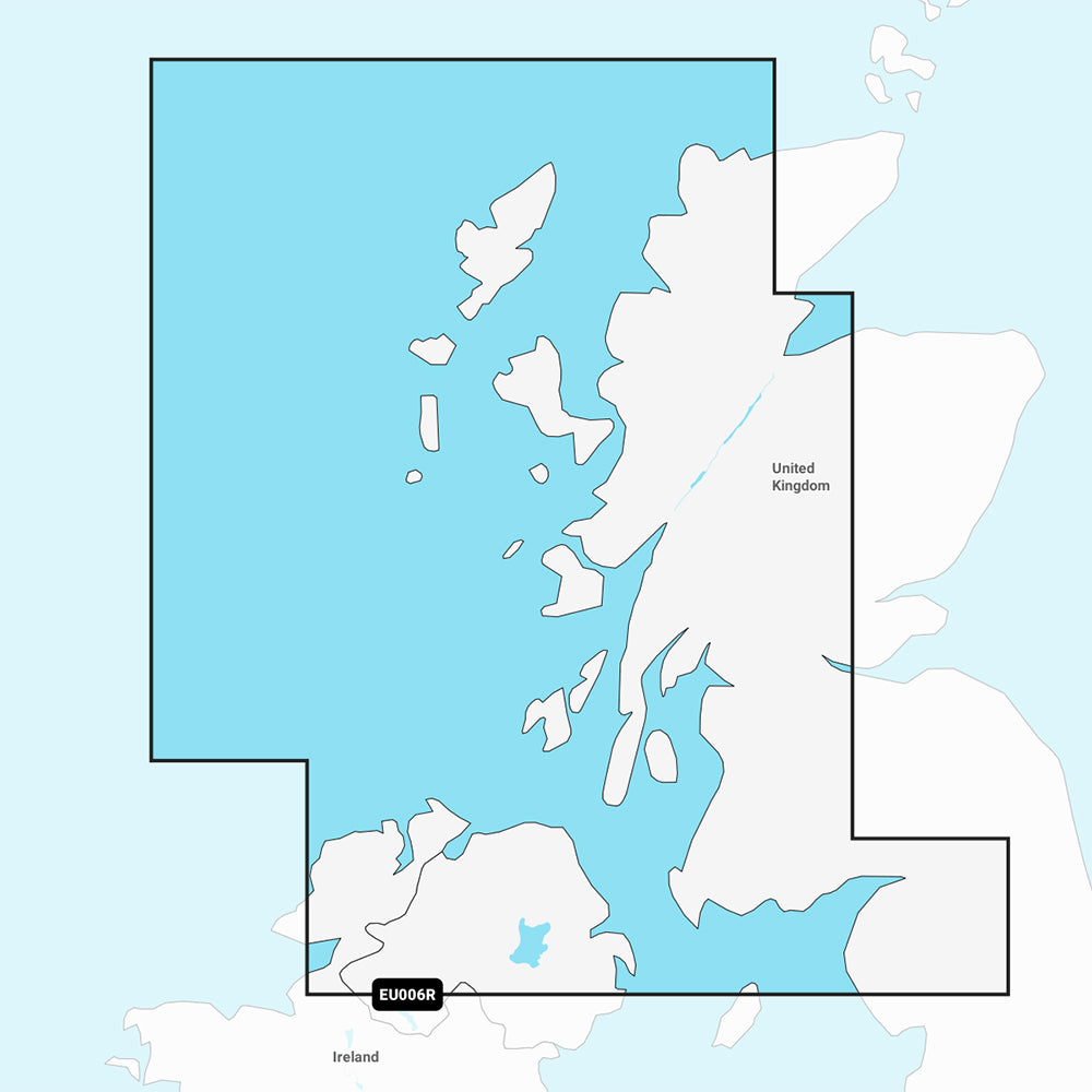
The Garmin Navionics Vision+ NVEU006R marine chart provides detailed coastal coverage for the western coast of Scotland, spanning from Cape Wrath to Solway Firth. This includes the Isles of Lewis, Skye, Mull, and Islay, as well as coverage of Northern Ireland from Londonderry to Belfast and Lough Neagh. This map solution offers integrated coastal and inland content for compatible chartplotters, including one year of access to daily chart updates via the ActiveCaptain app.
Key Features:
- Auto Guidance+ technology for suggested dock-to-dock routing
- High-resolution depth range shading with up to 10 customizable target depth ranges
- Detailed bottom structure with up to 1' contours
- User-defined shallow water shading for navigational safety
- High-resolution satellite imagery and aerial photography of landmarks
- 3D Fisheye View for underwater contour representation
- 3D Marinereye View for above and below-waterline situational awareness
- Dynamic lake level adjustment
- Access to ActiveCaptain community-sourced content including POIs and hazards
Technical Specifications:
- Format: MicroSD/SD card
- Model Number: 010-C1234-00
- Chart Code: NVEU006R
Note: Auto Guidance+ is intended for planning purposes only and does not replace safe navigation operations. Please verify the compatibility of your GPS chartplotter before purchase.
Product facts
- CT SKU
- CT-111759
- Model / MPN
- 010-C1234-00
- Package dimensions
- 1" X 1" X 6"
- Package weight
- 0.1 lb
Shipping & returns
Shipping & returns
Shipping methods, delivery estimates, and final costs appear at checkout before payment. Some bulky, supplier-shipped, or special-handling items may ship separately. See Shipping & Returns for return windows and eligibility.
Fit & compatibility
Fit & compatibility
Review the product title, description, images, dimensions, part numbers, and manufacturer details before purchase. For fit-sensitive items, confirm compatibility with your boat, RV, trailer, vehicle, or equipment.
Need help choosing?
Need help choosing?
Send us the product link or SKU, plus details about your boat, RV, trailer, vehicle, or project. We will help you narrow down the right option when product fit is not obvious.