Brand: Garmin
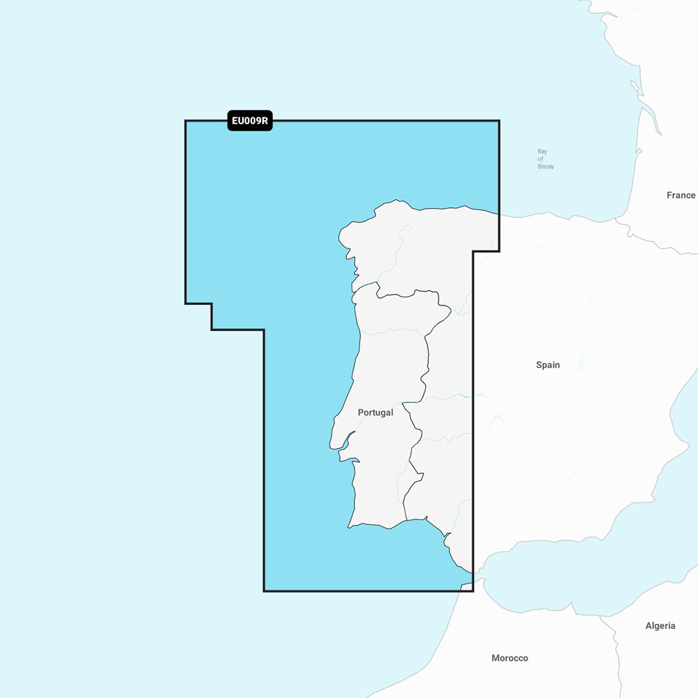
Garmin Navionics Vision+ Marine Chart NVEU009R - Portugal & Spain, Northwest
Garmin Navionics Vision+ Marine Chart NVEU009R - Portugal & Spain, Northwest
Sold out
The Garmin Navionics Vision+ NVEU009R is a comprehensive marine charting solution covering the Atlantic coast of Spain and Portugal, from Gijon to Cadiz, including Lisbon and the Guadalquivir River to Seville. This cartography provides detailed coastal and inland mapping for compatible Garmin chartplotters, featuring advanced navigation tools and enhanced visual data.
Key Features:
- Includes a one-year subscription for daily chart updates accessible via the ActiveCaptain app.
- Auto Guidance+ technology provides suggested dock-to-dock routing through channels and inlets.
- High-resolution depth range shading with up to 10 customizable target depth ranges.
- Detailed bottom structure visibility with up to 1 ft. contours.
- Shallow water shading to assist in navigation safety.
- Advanced visual aids including high-resolution satellite imagery, aerial photography, and 3D Fisheye and Marinereye views.
- Dynamic lake level adjustments for monitoring accessible water depths.
- Access to the ActiveCaptain community for local POIs and boater recommendations.
Technical Specifications:
- Format: MicroSD/SD card included.
- Compatibility: Verify chartplotter compatibility prior to use.
- Regulatory note: Auto Guidance+ is for planning purposes only and does not replace safe navigation practices.
Product facts
- CT SKU
- CT-111772
- Model / MPN
- 010-C1236-00
- Package dimensions
- 1" X 1" X 6"
- Package weight
- 0.1 lb
Shipping & returns
Shipping & returns
Shipping methods, delivery estimates, and final costs appear at checkout before payment. Some bulky, supplier-shipped, or special-handling items may ship separately. See Shipping & Returns for return windows and eligibility.
Fit & compatibility
Fit & compatibility
Review the product title, description, images, dimensions, part numbers, and manufacturer details before purchase. For fit-sensitive items, confirm compatibility with your boat, RV, trailer, vehicle, or equipment.
Need help choosing?
Need help choosing?
Send us the product link or SKU, plus details about your boat, RV, trailer, vehicle, or project. We will help you narrow down the right option when product fit is not obvious.