Brand: Garmin
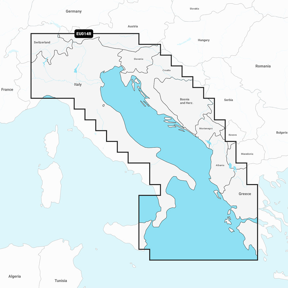
Garmin Navionics Vision+ Marine Chart NVEU014R - Italy, Adriatic Sea
Garmin Navionics Vision+ Marine Chart NVEU014R - Italy, Adriatic Sea
Sold out
The Garmin Navionics Vision+ NVEU014R marine chart provides detailed, up-to-date cartography for your compatible Garmin chartplotter. This comprehensive map solution integrates Garmin and Navionics content to provide high-resolution navigation and fishing data for the coastal areas of the Po River, the Adriatic coast of Italy, Slovenia, Croatia, Albania, western Greece, and southern Italy, including various regional lakes.
Key Features:
- Includes a one-year subscription for daily chart updates via the ActiveCaptain app.
- Features Auto Guidance+ technology for automated dock-to-dock routing.
- Supports high-resolution depth range shading with up to 10 customizable target depth ranges.
- Provides 1' contours for detailed bottom structure identification.
- Includes shallow water shading, dynamic lake level adjustment, and the ActiveCaptain community for POI data.
- Enhances situational awareness with high-resolution satellite imagery, aerial photography, 3D Fisheye view, and 3D Marinereye view.
Specifications:
- Format: MicroSD/SD Card.
- Coverage: Includes eastern Sicily, Straits of Messina, Dalmatian Coast, Gulf of Taranto, Lago Maggiore, Lago d'Iseo, Lago di Como, and Lago di Garda.
- Included in the box: SD/MSD card.
Note: Auto Guidance+ is intended for planning purposes only and does not replace safe navigation practices. Please verify chartplotter compatibility prior to purchase.
Product facts
- CT SKU
- CT-111762
- Model / MPN
- 010-C1239-00
- Package dimensions
- 1" X 1" X 6"
- Package weight
- 0.1 lb
Shipping & returns
Shipping & returns
Shipping methods, delivery estimates, and final costs appear at checkout before payment. Some bulky, supplier-shipped, or special-handling items may ship separately. See Shipping & Returns for return windows and eligibility.
Fit & compatibility
Fit & compatibility
Review the product title, description, images, dimensions, part numbers, and manufacturer details before purchase. For fit-sensitive items, confirm compatibility with your boat, RV, trailer, vehicle, or equipment.
Need help choosing?
Need help choosing?
Send us the product link or SKU, plus details about your boat, RV, trailer, vehicle, or project. We will help you narrow down the right option when product fit is not obvious.