Brand: Garmin
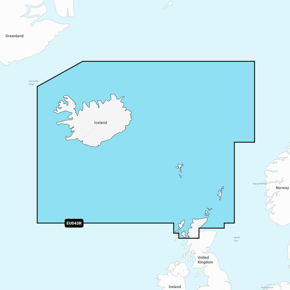
Garmin Navionics Vision+ Marine Chart NVEU043R - Iceland to Orkney
Garmin Navionics Vision+ Marine Chart NVEU043R - Iceland to Orkney
Sold out
The Garmin Navionics Vision+ NVEU043R provides detailed marine mapping for Iceland, the Faeroe Islands, the Shetland Islands, the Orkney Islands, and the northern tip of Britain. This comprehensive chart includes coverage for Reykjavik, Akureyri, Torshavn, Lerwick, Stromness, Kirkwall, and Thurso, delivered on a microSD/SD card.
Key Features:
- Includes a one-year subscription for daily chart updates via the ActiveCaptain app.
- Features Auto Guidance+ technology for suggested dock-to-dock routing.
- Provides up to 1' contours for detailed bottom structure depiction.
- Offers depth range shading for up to 10 target ranges and user-defined shallow water shading.
- Includes high-resolution satellite imagery, aerial photography, and community-sourced POIs.
- Features 3D Fisheye and Marinereye views for enhanced perspective above and below the waterline.
- Supports dynamic lake level adjustments.
Compatibility with your GPS chartplotter should be verified before purchase. Auto Guidance+ is intended for planning purposes only and does not replace safe navigation practices. The product includes one SD/microSD card.
Product facts
- CT SKU
- CT-111877
- Model / MPN
- 010-C1246-00
- Package dimensions
- 1" X 1" X 6"
- Package weight
- 0.1 lb
Shipping & returns
Shipping & returns
Shipping methods, delivery estimates, and final costs appear at checkout before payment. Some bulky, supplier-shipped, or special-handling items may ship separately. See Shipping & Returns for return windows and eligibility.
Fit & compatibility
Fit & compatibility
Review the product title, description, images, dimensions, part numbers, and manufacturer details before purchase. For fit-sensitive items, confirm compatibility with your boat, RV, trailer, vehicle, or equipment.
Need help choosing?
Need help choosing?
Send us the product link or SKU, plus details about your boat, RV, trailer, vehicle, or project. We will help you narrow down the right option when product fit is not obvious.