Brand: Garmin
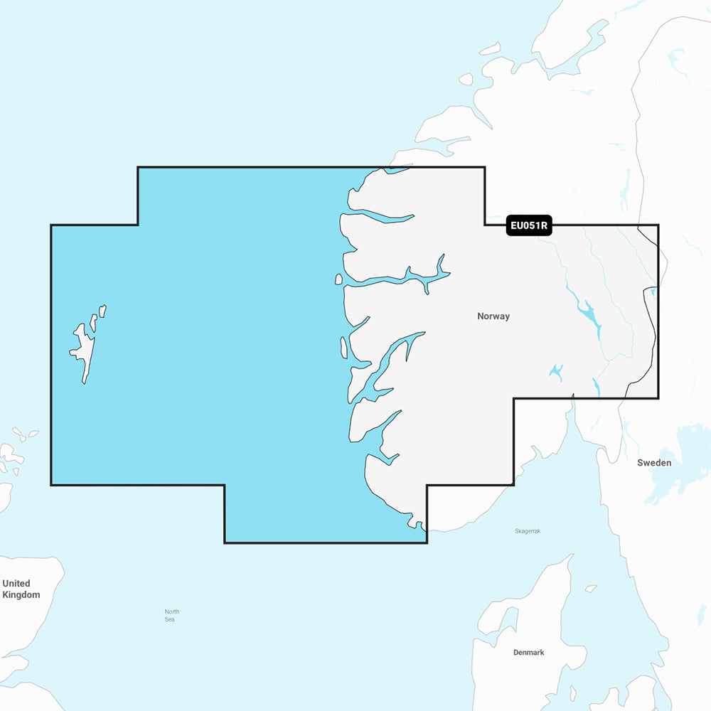
Garmin Navionics Vision+ Marine Chart NVEU051R - Norway, Lista to Sognefjord
Garmin Navionics Vision+ Marine Chart NVEU051R - Norway, Lista to Sognefjord
Sold out
The Garmin Navionics Vision+ NVEU051R marine chart provides comprehensive, up-to-date cartography for your compatible GPS chartplotter. This all-in-one mapping solution covers the Norway coast from Farsund to Maloy, including the Sognefjord, Bergen, Haugesund, Stavanger, and the Shetland Islands.
Key Features:
- Includes a one-year subscription for daily chart updates via the ActiveCaptain app.
- Auto Guidance+ technology suggests dock-to-dock routing through channels and inlets.
- Features high-resolution depth range shading for up to 10 target depths.
- Provides 1' contours for detailed bottom structure analysis.
- Includes shallow water shading, high-resolution satellite imagery, and aerial photography of ports and landmarks.
- Offers 3D Fisheye and 3D Marinereye views for enhanced situational awareness above and below the waterline.
- Supports community-sourced POIs through the ActiveCaptain app.
- Dynamic lake level adjustment helps determine accessibility in varying conditions.
Technical Specifications:
- Chart Code: NVEU051R
- Format: MicroSD/SD card
- Coverage: Norway coast from Farsund to Maloy, including Sognefjord, Bergen, Haugesund, Stavanger, and the Shetland Islands.
Note: Auto Guidance+ is intended for planning purposes only and does not replace safe navigation practices. Please verify compatibility with your specific GPS chartplotter before use.
Product facts
- CT SKU
- CT-111881
- Model / MPN
- 010-C1250-00
- Package dimensions
- 1" X 1" X 6"
- Package weight
- 0.1 lb
Shipping & returns
Shipping & returns
Shipping methods, delivery estimates, and final costs appear at checkout before payment. Some bulky, supplier-shipped, or special-handling items may ship separately. See Shipping & Returns for return windows and eligibility.
Fit & compatibility
Fit & compatibility
Review the product title, description, images, dimensions, part numbers, and manufacturer details before purchase. For fit-sensitive items, confirm compatibility with your boat, RV, trailer, vehicle, or equipment.
Need help choosing?
Need help choosing?
Send us the product link or SKU, plus details about your boat, RV, trailer, vehicle, or project. We will help you narrow down the right option when product fit is not obvious.