Brand: Garmin
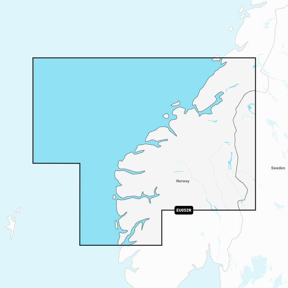
Garmin Navionics Vision+ Marine Chart, NVEU052R - Norway, Sognefjord to Svesfjorden
Garmin Navionics Vision+ Marine Chart, NVEU052R - Norway, Sognefjord to Svesfjorden
Sold out
This Garmin Navionics Vision+ NVEU052R marine chart provides detailed cartography for the Norwegian coast from Bergen to Namsos, including coverage of Alesund, Trondheim, and the Sognefjord. This all-in-one map solution integrates Garmin and Navionics content, offering advanced navigation features for compatible chartplotters.
Key Features:
- Coverage: Detailed mapping from Bergen to Namsos, including Sognefjord.
- Auto Guidance+ technology: Suggests dock-to-dock paths through channels, inlets, and marinas.
- Advanced Shading: Features high-resolution depth range shading with up to 10 customizable target depth ranges and user-defined shallow water shading.
- Detailed Contours: Up to 1' contours provide a clear depiction of bottom structure for enhanced navigation.
- Advanced Visuals: Includes high-resolution satellite imagery, aerial photography of ports and landmarks, and 3D Fisheye and Marinereye views.
- ActiveCaptain Integration: Access community-sourced POIs and daily chart updates via the ActiveCaptain app.
- Dynamic Lake Level: Adjusts maps to current water levels to determine accessibility.
Specifications and Inclusions:
- Format: MicroSD/SD card.
- Subscription: Includes a one-year subscription for daily chart updates.
- Note: Auto Guidance+ is for planning purposes only and does not replace safe navigation operations. Compatibility should be verified with your specific GPS chartplotter model.
Product facts
- CT SKU
- CT-111882
- Model / MPN
- 010-C1251-00
- Package dimensions
- 1" X 1" X 6"
- Package weight
- 0.1 lb
Shipping & returns
Shipping & returns
Shipping methods, delivery estimates, and final costs appear at checkout before payment. Some bulky, supplier-shipped, or special-handling items may ship separately. See Shipping & Returns for return windows and eligibility.
Fit & compatibility
Fit & compatibility
Review the product title, description, images, dimensions, part numbers, and manufacturer details before purchase. For fit-sensitive items, confirm compatibility with your boat, RV, trailer, vehicle, or equipment.
Need help choosing?
Need help choosing?
Send us the product link or SKU, plus details about your boat, RV, trailer, vehicle, or project. We will help you narrow down the right option when product fit is not obvious.