Brand: Garmin
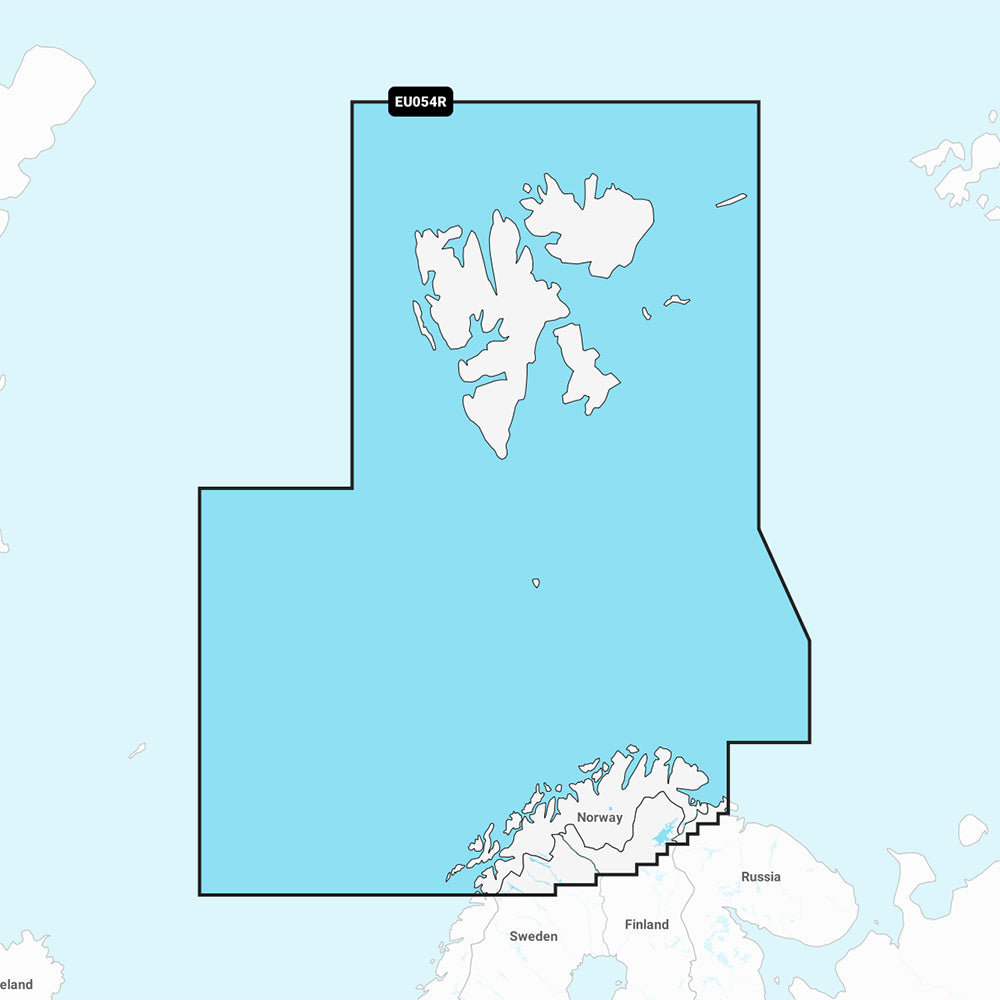
Garmin Navionics Vision+ Marine Chart NVEU054R: Norway, Vestfjorden to Svalbard
Garmin Navionics Vision+ Marine Chart NVEU054R: Norway, Vestfjorden to Svalbard
Sold out
The Garmin Navionics Vision+ NVEU054R marine chart provides detailed coastal and inland mapping for northern Norway, covering the coast from Vestfjorden to Vadso, including Tromsø and Narvik, as well as Svalbard and its approaches. This comprehensive map solution integrates Garmin and Navionics content, offering advanced navigation features and a one-year subscription for daily updates via the ActiveCaptain app.
Key Features:
- Coverage: Detailed mapping of coastal features, rivers, and lakes in Northern Norway and Svalbard.
- Advanced Navigation: Includes Auto Guidance+ technology for suggested dock-to-dock routing.
- Detailed Mapping: Features up to 1' contours, shallow water shading, and customizable depth range shading with up to 10 target ranges.
- Enhanced Visualization: Includes high-resolution satellite imagery, aerial photography of ports and landmarks, 3D Fisheye view for underwater perspective, and 3D Marinereye view for area representation.
- Community Content: Access to the ActiveCaptain community for local POIs, hazards, and boater recommendations.
- Format: Delivered on a MicroSD/SD card.
Regulatory Note: Auto Guidance+ is intended for planning purposes only and does not replace safe navigation operations.
Product facts
- CT SKU
- CT-111884
- Model / MPN
- 010-C1253-00
- Package dimensions
- 1" X 1" X 6"
- Package weight
- 0.1 lb
Shipping & returns
Shipping & returns
Shipping methods, delivery estimates, and final costs appear at checkout before payment. Some bulky, supplier-shipped, or special-handling items may ship separately. See Shipping & Returns for return windows and eligibility.
Fit & compatibility
Fit & compatibility
Review the product title, description, images, dimensions, part numbers, and manufacturer details before purchase. For fit-sensitive items, confirm compatibility with your boat, RV, trailer, vehicle, or equipment.
Need help choosing?
Need help choosing?
Send us the product link or SKU, plus details about your boat, RV, trailer, vehicle, or project. We will help you narrow down the right option when product fit is not obvious.