Brand: Garmin
Garmin Navionics Vision+ NVEU055R Inland Marine Chart - Finland Lakes & Rivers
Garmin Navionics Vision+ NVEU055R Inland Marine Chart - Finland Lakes & Rivers
Sold out
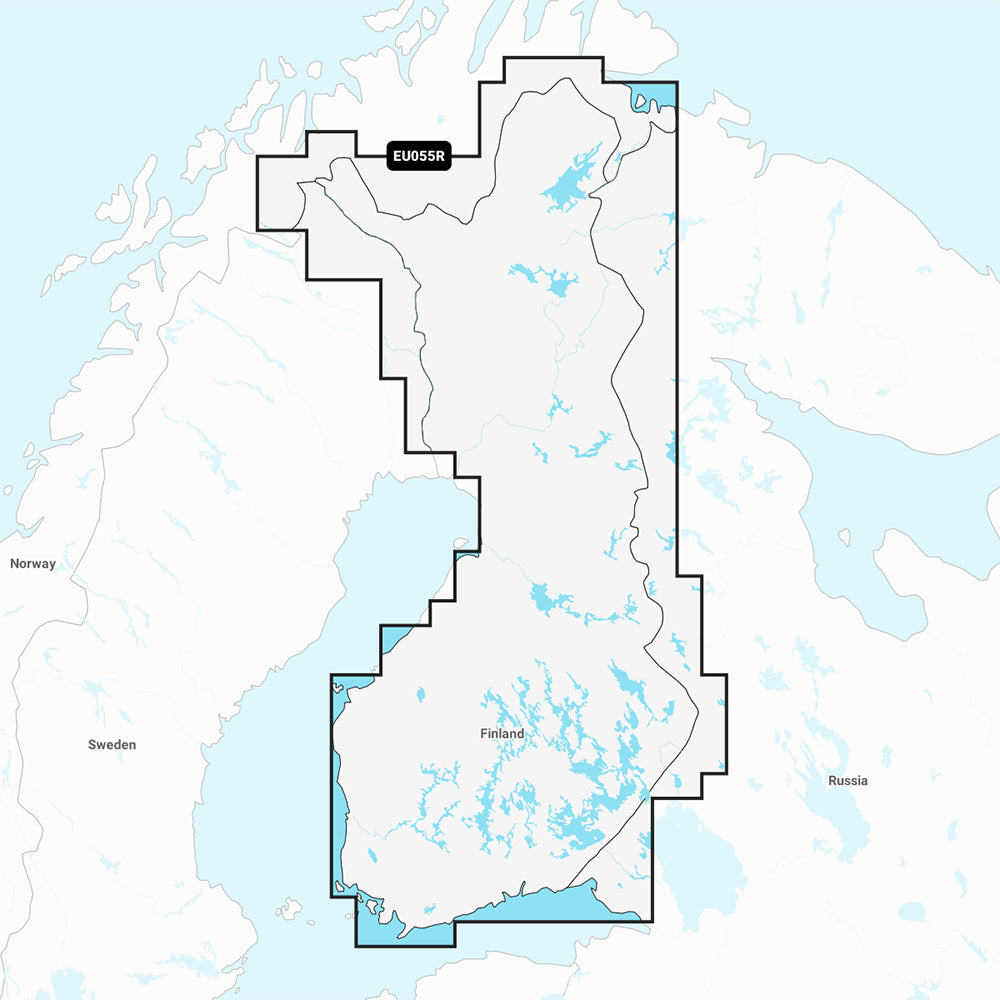
The Garmin Navionics Vision+ NVEU055R provides detailed marine mapping for Finland's inland lakes and rivers, including Inarijarvi, Oulujarvi, Pielinen, Saimaa, Paijanne, and more. This cartography solution features a one-year subscription for daily updates via the ActiveCaptain app and utilizes combined Garmin and Navionics content for comprehensive coastal and inland navigation.
- Coverage Area: Detailed mapping for inland Finnish lakes including Inarijarvi, Miekojarvi, Simojarvi, Kiantajarvi, Oulujarvi, Pielinen, Saimaa, Paijanne, Nasijarvi, Lohjanjärvi, Nuorajärvi, and Kilpisjärvi.
- Navigation Features: Includes Auto Guidance+ technology for suggested dock-to-dock routing, 1' contours for bottom structure detail, and shallow water shading.
- Visualization: Features high-resolution satellite imagery, aerial photography of ports and landmarks, 3D Fisheye view for underwater perspectives, and 3D Marinereye view for above and below-water surroundings.
- Customization: Supports depth range shading with up to 10 user-selected color ranges and dynamic lake level adjustments.
- Compatibility: Delivered on a MicroSD/SD card; please verify your GPS chartplotter compatibility prior to purchase.
- Included: One-year subscription for daily chart updates and the SD/microSD card.
Auto Guidance+ is for planning purposes only and does not replace safe navigation operations.
Product facts
- CT SKU
- CT-111885
- Model / MPN
- 010-C1254-00
- Package dimensions
- 1" X 1" X 6"
- Package weight
- 0.1 lb
Shipping & returns
Shipping & returns
Shipping methods, delivery estimates, and final costs appear at checkout before payment. Some bulky, supplier-shipped, or special-handling items may ship separately. See Shipping & Returns for return windows and eligibility.
Fit & compatibility
Fit & compatibility
Review the product title, description, images, dimensions, part numbers, and manufacturer details before purchase. For fit-sensitive items, confirm compatibility with your boat, RV, trailer, vehicle, or equipment.
Need help choosing?
Need help choosing?
Send us the product link or SKU, plus details about your boat, RV, trailer, vehicle, or project. We will help you narrow down the right option when product fit is not obvious.