Brand: Garmin
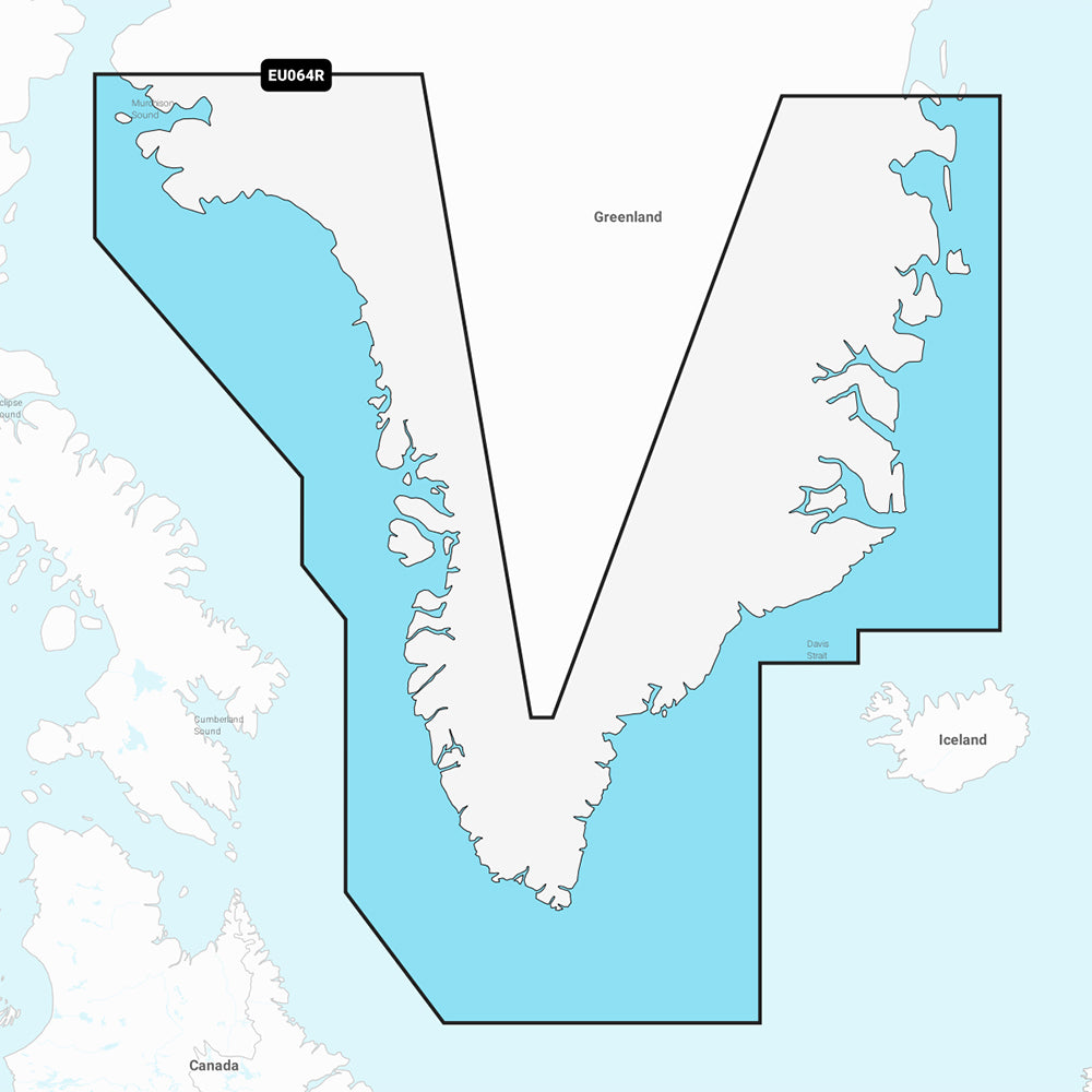
Garmin Navionics Vision+ Marine Chart NVEU064R - Greenland
Garmin Navionics Vision+ Marine Chart NVEU064R - Greenland
Sold out
The Garmin Navionics Vision+ NVEU064R provides detailed marine cartography for the coast of Greenland, spanning from Thule on the west coast to Germania Land on the east coast. This all-in-one map solution integrates Garmin and Navionics content, offering comprehensive coverage for coastal features, lakes, and rivers, including specific details for regions such as Nuuk, Qaqortoq, Sisimiut, and Ammassalik. Each purchase includes a one-year subscription for daily chart updates accessible via the ActiveCaptain app.
Key Features:
- Auto Guidance+ technology for suggested dock-to-dock routing.
- High-resolution depth range shading with up to 10 customizable target depth ranges.
- Up to 1' contours for improved bottom structure navigation.
- Shallow water shading to identify and avoid restricted depths.
- High-resolution satellite imagery and aerial photography of ports, marinas, and landmarks.
- 3D Fisheye View for underwater contour perspective.
- 3D Marinereye View for surrounding area visualization.
- Dynamic Lake Level adjustment for varying water depths.
- ActiveCaptain community-sourced POI data.
Technical Specifications:
- Format: MicroSD/SD card.
- Included: 1 SD/MSD card.
- Chart Code: NVEU064R.
Note: Auto Guidance+ is intended for planning purposes only and does not replace safe navigation operations. Please verify compatibility with your specific GPS chartplotter before use.
Product facts
- CT SKU
- CT-111889
- Model / MPN
- 010-C1259-00
- Package dimensions
- 1" X 1" X 6"
- Package weight
- 0.1 lb
Shipping & returns
Shipping & returns
Shipping methods, delivery estimates, and final costs appear at checkout before payment. Some bulky, supplier-shipped, or special-handling items may ship separately. See Shipping & Returns for return windows and eligibility.
Fit & compatibility
Fit & compatibility
Review the product title, description, images, dimensions, part numbers, and manufacturer details before purchase. For fit-sensitive items, confirm compatibility with your boat, RV, trailer, vehicle, or equipment.
Need help choosing?
Need help choosing?
Send us the product link or SKU, plus details about your boat, RV, trailer, vehicle, or project. We will help you narrow down the right option when product fit is not obvious.