Brand: Garmin
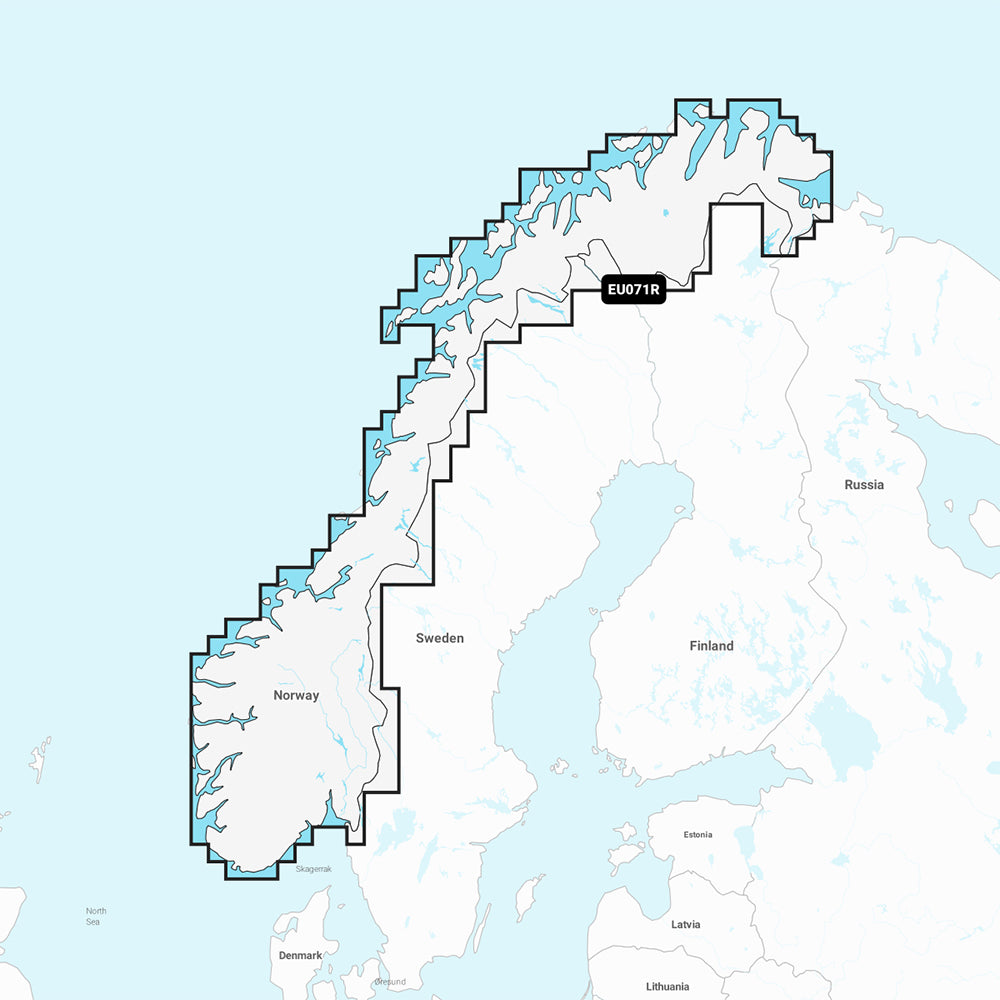
Garmin Navionics Vision+ NVEU071R Norway Lakes and Rivers Inland Marine Chart
Garmin Navionics Vision+ NVEU071R Norway Lakes and Rivers Inland Marine Chart
Sold out
The Garmin Navionics Vision+ NVEU071R is a comprehensive inland marine chart providing detailed mapping for the lakes and rivers of Norway, including Lake Mjosa, Lake Bandak, the Telemark Canal, and the Oslofjord. Designed for use with compatible Garmin chartplotters, this software offers advanced navigation features and up-to-date cartography.
Key Features:
- Coverage includes detailed maps of lakes, canals, and rivers across Norway.
- Includes a one-year subscription for daily chart updates via the ActiveCaptain app.
- Auto Guidance+ technology suggests dock-to-dock routing through channels and marinas.
- Features high-resolution depth range shading and up to 1' contours for improved bottom structure detail.
- Includes shallow water shading to assist in navigation.
- Provides access to the ActiveCaptain community for local POIs and boater recommendations.
- High-resolution satellite imagery and aerial photography of ports, marinas, and landmarks.
- 3D Fisheye and 3D Marinereye views offer underwater and above-water perspectives.
- Dynamic lake level adjustment to account for changing water conditions.
- Format: MicroSD/SD card.
Auto Guidance+ is intended for planning purposes only and does not replace safe navigation practices.
Product facts
- CT SKU
- CT-111894
- Model / MPN
- 010-C1266-00
- Package dimensions
- 1" X 1" X 6"
- Package weight
- 0.1 lb
Shipping & returns
Shipping & returns
Shipping methods, delivery estimates, and final costs appear at checkout before payment. Some bulky, supplier-shipped, or special-handling items may ship separately. See Shipping & Returns for return windows and eligibility.
Fit & compatibility
Fit & compatibility
Review the product title, description, images, dimensions, part numbers, and manufacturer details before purchase. For fit-sensitive items, confirm compatibility with your boat, RV, trailer, vehicle, or equipment.
Need help choosing?
Need help choosing?
Send us the product link or SKU, plus details about your boat, RV, trailer, vehicle, or project. We will help you narrow down the right option when product fit is not obvious.