Brand: Garmin
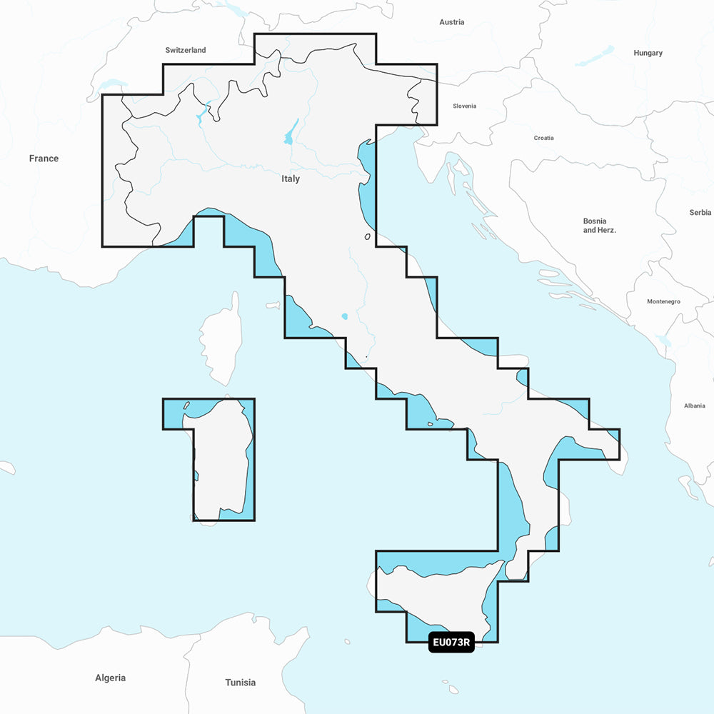
Garmin Navionics Vision+ NVEU073R Marine Chart - Italy, Lakes & Rivers
Garmin Navionics Vision+ NVEU073R Marine Chart - Italy, Lakes & Rivers
Sold out
The Garmin Navionics Vision+ NVEU073R provides detailed marine and inland mapping for Italy, including the Po River and lakes such as Maggiore, d'Iseo, Como, and Garda. This all-in-one chart solution offers integrated Garmin and Navionics content, featuring high-resolution relief shading, depth range shading, and 1-foot contours for enhanced navigation and fishing situational awareness.
Key Features:
- Includes a one-year subscription for daily chart updates via the ActiveCaptain app.
- Auto Guidance+ technology suggests dock-to-dock paths through channels, inlets, and marinas.
- Advanced visual tools including high-resolution satellite imagery, aerial photography, and 3D perspectives like Fisheye and Marinereye views.
- Customizable features such as shallow water shading and dynamic lake level adjustment to account for varying water conditions.
- Access to the ActiveCaptain community for user-sourced points of interest and local recommendations.
- Format: MicroSD/SD card.
Note: Auto Guidance+ is intended for planning purposes only and does not replace safe navigation practices. Please verify chartplotter compatibility prior to purchase.
Product facts
- CT SKU
- CT-111896
- Model / MPN
- 010-C1268-00
- Package dimensions
- 1" X 1" X 6"
- Package weight
- 0.1 lb
Shipping & returns
Shipping & returns
Shipping methods, delivery estimates, and final costs appear at checkout before payment. Some bulky, supplier-shipped, or special-handling items may ship separately. See Shipping & Returns for return windows and eligibility.
Fit & compatibility
Fit & compatibility
Review the product title, description, images, dimensions, part numbers, and manufacturer details before purchase. For fit-sensitive items, confirm compatibility with your boat, RV, trailer, vehicle, or equipment.
Need help choosing?
Need help choosing?
Send us the product link or SKU, plus details about your boat, RV, trailer, vehicle, or project. We will help you narrow down the right option when product fit is not obvious.