Brand: Garmin
Garmin Navionics Vision+ Marine Chart - NVEU076R Benelux & Germany, West
Garmin Navionics Vision+ Marine Chart - NVEU076R Benelux & Germany, West
Sold out
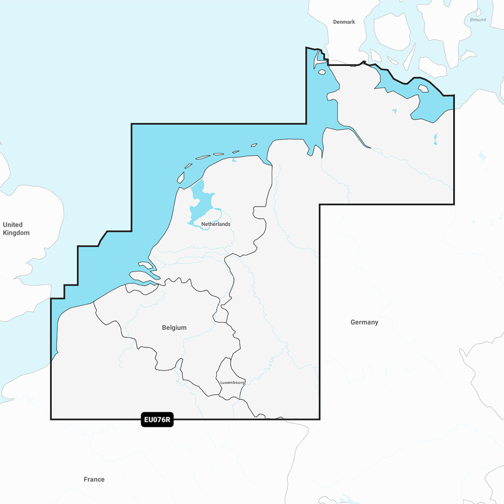
The Garmin Navionics Vision+ NVEU076R provides detailed marine mapping for the North Sea coasts of Belgium, the Netherlands, and Germany. This chart includes coverage for interior waterways and canals across the Benelux countries, the Baltic Sea coast of Germany to Wismar, the Kiel Canal, the Waddenzee, the IJsselmeer, the Rhine River to Koblenz, and major ports including Antwerp, Amsterdam, Rotterdam, and Hamburg.
Key Features:
- All-in-one map solution covering coastal features, lakes, and rivers with integrated Garmin and Navionics content.
- Includes a one-year subscription for daily chart updates via the ActiveCaptain app.
- Auto Guidance+ technology for suggested dock-to-dock routing.
- High-resolution depth range shading with up to 10 user-defined color options.
- Detailed bottom structure visibility with up to 1' contours.
- User-defined shallow water shading to assist in navigation.
- Access to the ActiveCaptain community for local points of interest and recommendations.
- Advanced visual tools including high-resolution satellite imagery, aerial photography, 3D Fisheye view, and 3D Marinereye view.
- Dynamic lake level adjustment to account for changing water conditions.
Technical Specifications:
- Format: MicroSD/SD card.
- Part Number: 010-C1242-00.
- Compatibility: Verify compatibility with your specific GPS chartplotter before use.
Note: Auto Guidance+ is intended for planning purposes only and does not replace safe navigation practices.
Product facts
- CT SKU
- CT-111765
- Model / MPN
- 010-C1242-00
- Package dimensions
- 1" X 1" X 6"
- Package weight
- 0.1 lb
Shipping & returns
Shipping & returns
Shipping methods, delivery estimates, and final costs appear at checkout before payment. Some bulky, supplier-shipped, or special-handling items may ship separately. See Shipping & Returns for return windows and eligibility.
Fit & compatibility
Fit & compatibility
Review the product title, description, images, dimensions, part numbers, and manufacturer details before purchase. For fit-sensitive items, confirm compatibility with your boat, RV, trailer, vehicle, or equipment.
Need help choosing?
Need help choosing?
Send us the product link or SKU, plus details about your boat, RV, trailer, vehicle, or project. We will help you narrow down the right option when product fit is not obvious.