Brand: Garmin
Garmin Navionics Vision+ NVEU080R Inland Marine Chart - France, Lakes & Rivers
Garmin Navionics Vision+ NVEU080R Inland Marine Chart - France, Lakes & Rivers
Sold out
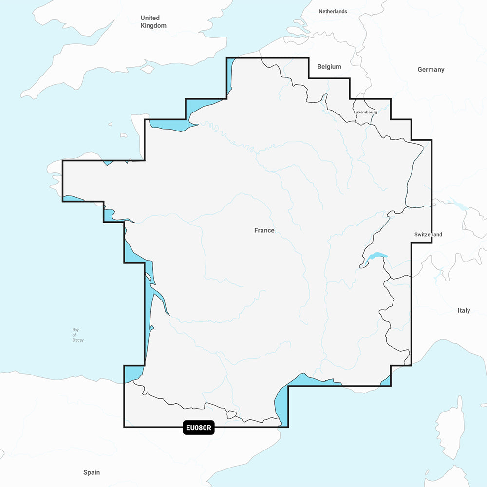
The Garmin Navionics Vision+ NVEU080R provides detailed inland marine mapping for France, featuring comprehensive coverage of major river systems, canals, and lakes. This all-in-one chart solution integrates Garmin and Navionics data to assist with navigation and fishing, offering advanced features to improve situational awareness on the water.
Key Features:
- Coverage area includes the Adour, Garonne, Charente, Loire, Seine, and Rhone River systems, as well as the Rhine, Lake Leman, Lake Neuchatel, Lake Biel, Lake Morat, and various major canals.
- Includes a one-year subscription for daily chart updates accessible via the ActiveCaptain app.
- Auto Guidance+ technology provides suggested dock-to-dock routing.
- High-resolution depth range shading with up to 10 user-defined color-shaded target ranges.
- Detailed bottom structure visibility with up to 1' contours.
- Visual enhancements including shallow water shading, high-resolution satellite imagery, and aerial photography of navigational landmarks.
- Multi-dimensional views including 3D Fisheye and 3D Marinereye for above and below-waterline perspectives.
- Dynamic lake level adjustments for monitoring current water accessibility.
- Format: MicroSD/SD card.
Note: Auto Guidance+ is intended for planning purposes only and does not replace safe navigation practices. Please verify the compatibility of your GPS chartplotter before use.
Product facts
- CT SKU
- CT-111887
- Model / MPN
- 010-C1256-00
- Package dimensions
- 1" X 1" X 6"
- Package weight
- 0.1 lb
Shipping & returns
Shipping & returns
Shipping methods, delivery estimates, and final costs appear at checkout before payment. Some bulky, supplier-shipped, or special-handling items may ship separately. See Shipping & Returns for return windows and eligibility.
Fit & compatibility
Fit & compatibility
Review the product title, description, images, dimensions, part numbers, and manufacturer details before purchase. For fit-sensitive items, confirm compatibility with your boat, RV, trailer, vehicle, or equipment.
Need help choosing?
Need help choosing?
Send us the product link or SKU, plus details about your boat, RV, trailer, vehicle, or project. We will help you narrow down the right option when product fit is not obvious.