Brand: Garmin
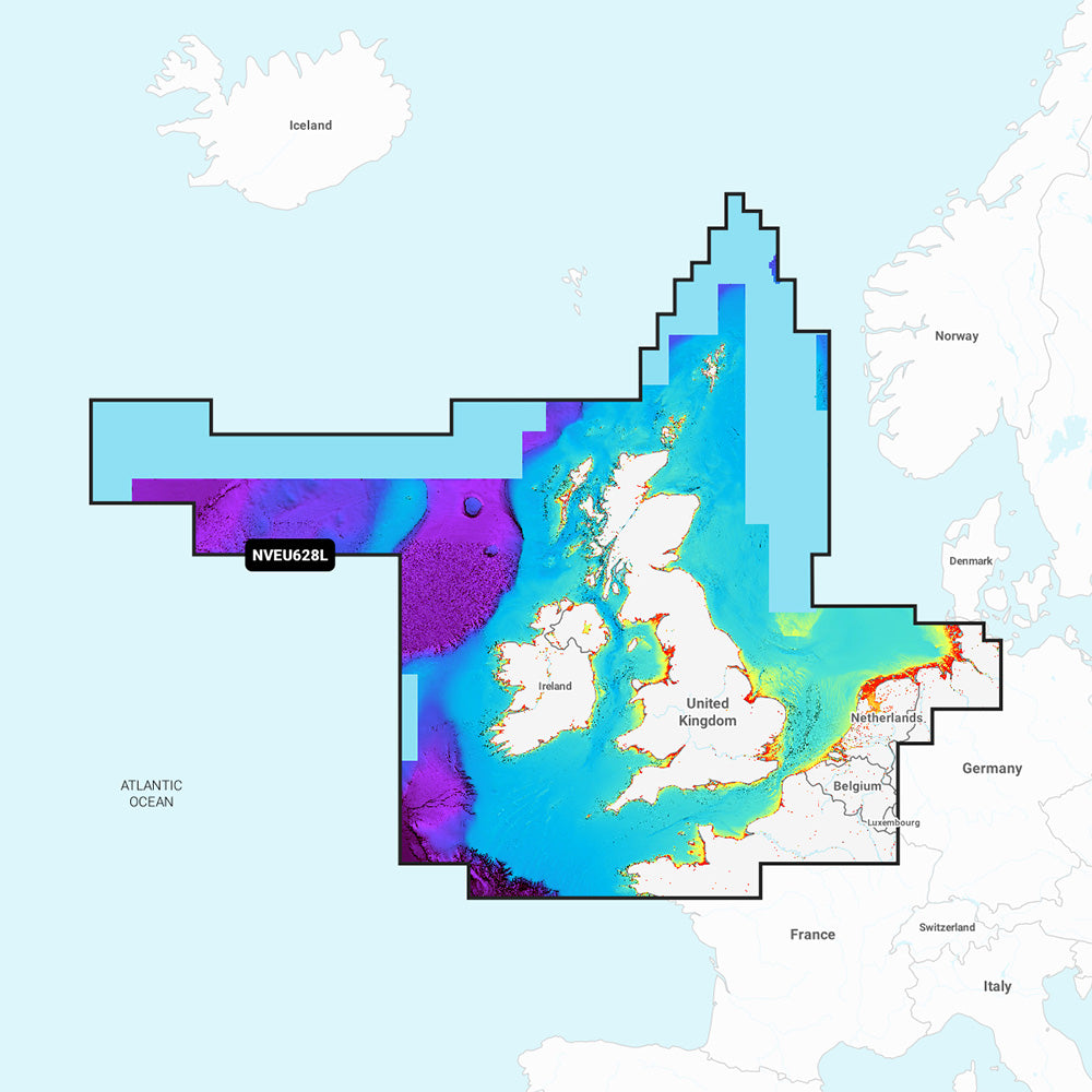
Garmin Navionics Vision+ NVEU628L U.K., Ireland & Holland Marine Chart
Garmin Navionics Vision+ NVEU628L U.K., Ireland & Holland Marine Chart
Sold out
The Garmin Navionics Vision+ NVEU628L provides detailed marine mapping for the U.K., Ireland, and Holland, including coastal and inland waters. This all-in-one solution offers comprehensive coverage for boaters, integrating Garmin and Navionics data to assist with navigation and fishing.
Key Features:
- Includes a one-year subscription for daily chart updates accessible via the ActiveCaptain app.
- Auto Guidance+ technology calculates suggested dock-to-dock paths.
- High-resolution depth range shading with up to 10 customizable target depths.
- Up to 1' contours provide detailed bottom structure mapping for navigation and fishing.
- Includes high-resolution relief shading, satellite imagery, and aerial photography for enhanced situational awareness.
- 3D viewing options include Fisheye View for underwater perspectives and Marinereye View for 3D representation of the area.
- Shallow water shading allows for user-defined depth visualization.
- Access to the ActiveCaptain community for local recommendations and POIs.
- Dynamic lake level adjustments for monitoring water accessibility.
Coverage Details:
- Covers the U.K., Ireland, North Sea, and English Channel coasts, including the Shetland Islands, Orkney Islands, Isle of Man, Isle of Wight, Isles of Scilly, Channel Islands, Thames River, IJsselmeer, Waddenzee, and Kiel Canal.
- Includes major ports such as London, Liverpool, Southampton, Edinburgh, Belfast, Dublin, Cork, Brest, Le Havre, Calais, Dunkirk, Antwerp, Amsterdam, Rotterdam, Bremerhaven, Hamburg, and Kiel.
Technical Specifications:
- Format: MicroSD/SD card.
- Chart Code: NVEU628L.
- Included: SD/MSD card.
Note: Compatibility with GPS chartplotters should be verified prior to purchase. Auto Guidance+ is intended for planning purposes only. Raster cartography is not viewable on ECHOMAP CHIRP and ECHOMAP Plus combos, but remains available via the ActiveCaptain mobile app.
Product facts
- CT SKU
- CT-113348
- Model / MPN
- 010-C1271-00
- Package dimensions
- 1" X 4" X 6"
- Package weight
- 0.15 lb
Shipping & returns
Shipping & returns
Shipping methods, delivery estimates, and final costs appear at checkout before payment. Some bulky, supplier-shipped, or special-handling items may ship separately. See Shipping & Returns for return windows and eligibility.
Fit & compatibility
Fit & compatibility
Review the product title, description, images, dimensions, part numbers, and manufacturer details before purchase. For fit-sensitive items, confirm compatibility with your boat, RV, trailer, vehicle, or equipment.
Need help choosing?
Need help choosing?
Send us the product link or SKU, plus details about your boat, RV, trailer, vehicle, or project. We will help you narrow down the right option when product fit is not obvious.