Brand: Garmin
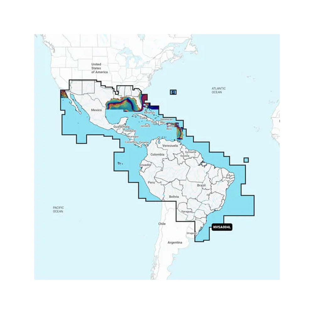
Garmin Navionics Vision+ NVSA004L Marine Charts - Mexico, Caribbean to Brazil
Garmin Navionics Vision+ NVSA004L Marine Charts - Mexico, Caribbean to Brazil
Sold out
The Garmin Navionics Vision+ NVSA004L provides detailed inland and coastal marine charting for Mexico, the Caribbean, and Brazil. Designed for compatible Garmin chartplotters, this cartography solution combines Garmin and Navionics data to offer comprehensive mapping with a familiar color palette and a streamlined interface.
Key Features:
- Includes a one-year subscription for daily updates and downloadable premium content via the ActiveCaptain app.
- Auto Guidance+ technology provides suggested dock-to-dock routing through channels and inlets.
- Features 1' contours for detailed bottom structure depictions in lakes, canals, and harbors.
- Includes high-resolution satellite imagery, aerial photos of ports and landmarks, and 3D perspectives of the surrounding area above and below the waterline.
- Allows for custom depth range shading with up to 10 user-defined targets to assist in identifying fishing spots.
- Provides shading at user-defined depths to highlight shallow water areas.
- Supports community-sourced points of interest, including marinas, anchorages, and hazards.
- Downloadable features include sonar imagery, side-scan images on select lakes, and relief shading for enhanced bottom structure interpretation.
- Adjustable map views allow users to sync with current water levels.
Note: Auto Guidance+ is for planning purposes only and does not replace safe navigation operations. Some features, including high-resolution imagery and sonar data, require an active subscription. NOAA raster cartography is available for select U.S. waters as a free download.
Product facts
- CT SKU
- CT-111671
- Model / MPN
- 010-C1285-00
- UPC / GTIN
- 753759290597
- Package dimensions
- 1" X 4" X 6"
- Package weight
- 0.17 lb
Shipping & returns
Shipping & returns
Shipping methods, delivery estimates, and final costs appear at checkout before payment. Some bulky, supplier-shipped, or special-handling items may ship separately. See Shipping & Returns for return windows and eligibility.
Fit & compatibility
Fit & compatibility
Review the product title, description, images, dimensions, part numbers, and manufacturer details before purchase. For fit-sensitive items, confirm compatibility with your boat, RV, trailer, vehicle, or equipment.
Need help choosing?
Need help choosing?
Send us the product link or SKU, plus details about your boat, RV, trailer, vehicle, or project. We will help you narrow down the right option when product fit is not obvious.