Brand: Humminbird
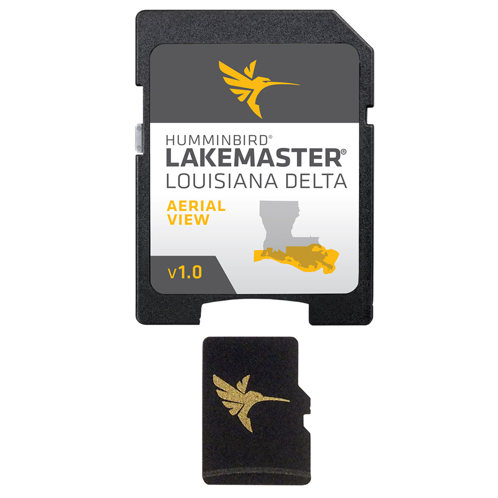
Humminbird LakeMaster Aerial Satellite View - Louisiana Delta
Humminbird LakeMaster Aerial Satellite View - Louisiana Delta
Sold out
The Humminbird LakeMaster Aerial Satellite View for the Louisiana Delta provides high-resolution aerial photography to assist with navigation and orientation on the water. This mapping data is delivered on a micro card that includes an SD adapter.
- Provides real-life aerial views of shorelines, waterways, landmarks, obstructions, roads, marinas, canals, and channels.
- Includes navigation aids, lake names, and points of interest.
- Manufacturer Part Number: 600050-1.
- UPC: 082324048753.
- Regulatory note: This product can expose you to chemicals including Naphthalene, which is known to the State of California to cause cancer. For more information, visit P65Warnings.ca.gov.
Product facts
- CT SKU
- CT-105050
- Model / MPN
- 600050-1
- UPC / GTIN
- 082324048753
- Package dimensions
- 1" X 5" X 8"
- Package weight
- 0.2 lb
Shipping & returns
Shipping & returns
Shipping methods, delivery estimates, and final costs appear at checkout before payment. Some bulky, supplier-shipped, or special-handling items may ship separately. See Shipping & Returns for return windows and eligibility.
Fit & compatibility
Fit & compatibility
Review the product title, description, images, dimensions, part numbers, and manufacturer details before purchase. For fit-sensitive items, confirm compatibility with your boat, RV, trailer, vehicle, or equipment.
Need help choosing?
Need help choosing?
Send us the product link or SKU, plus details about your boat, RV, trailer, vehicle, or project. We will help you narrow down the right option when product fit is not obvious.