Brand: Humminbird
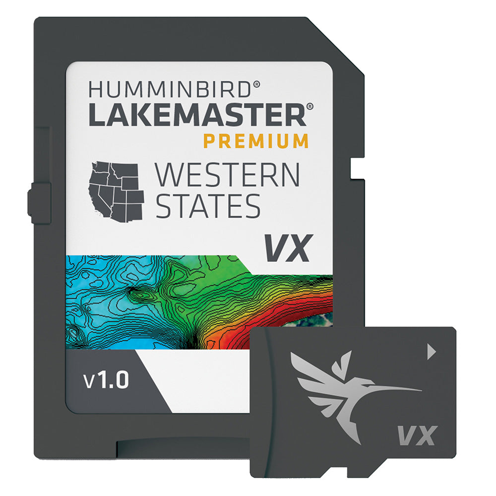
Humminbird LakeMaster VX Premium Map Card - Western States
Humminbird LakeMaster VX Premium Map Card - Western States
3 available
The Humminbird LakeMaster VX Premium Western States map card provides high-resolution, detailed cartography and advanced navigation tools for anglers. Built with VX Technology, this software offers exceptional map performance, customizable color palettes, and enhanced visual data to help you identify underwater structure and fish-holding areas.
Key Features:
- SmartStrike technology highlights likely bite areas based on search parameters like season, time of day, temperature, and fish species (select HD lakes).
- 2D Shaded Relief and Aerial Imagery for improved visualization of the lake bottom and surroundings.
- Customizable Chart Presets and Depth Highlight to target specific water depths.
- Shallow Water Highlight, adjustable from 0 to 60 feet.
- Water Level Offset to synchronize chart contours with current water levels.
- One-Boat Network capability to enable automatic contour following with compatible Minn Kota trolling motors.
- Compatible with Humminbird HELIX G3/G3N and newer, SOLIX units, and APEX units.
- Manufacturer Part Number: 602009-1.
- Warranty: 1-year cartography warranty.
Regulatory note: Opened packages are not eligible for return.
Product facts
- CT SKU
- CT-112119
- Model / MPN
- 602009-1
- UPC / GTIN
- 082324056581
- Package dimensions
- 1" X 5" X 7"
- Package weight
- 0.15 lb
Shipping & returns
Shipping & returns
Shipping methods, delivery estimates, and final costs appear at checkout before payment. Some bulky, supplier-shipped, or special-handling items may ship separately. See Shipping & Returns for return windows and eligibility.
Fit & compatibility
Fit & compatibility
Review the product title, description, images, dimensions, part numbers, and manufacturer details before purchase. For fit-sensitive items, confirm compatibility with your boat, RV, trailer, vehicle, or equipment.
Need help choosing?
Need help choosing?
Send us the product link or SKU, plus details about your boat, RV, trailer, vehicle, or project. We will help you narrow down the right option when product fit is not obvious.